
Directions
For an internet map search or GPS, use the following: Yorktown Battlefield Visitor Center, 1000 Colonial Parkway, Yorktown, Virginia 23690. Historic Jamestowne Visitor Center, 1368 Colonial Parkway, Jamestown, Virginia 23081.
Phone
(757) 898-3400
Activities
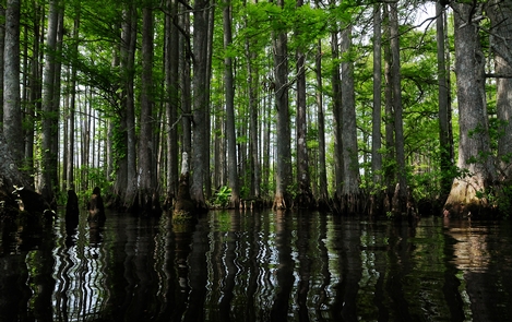
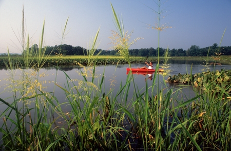
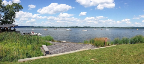
BOATING, PADDLING
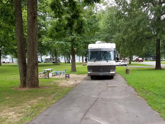
Camping Reservations
Reserve your campsite at these camping areas:
Hiking Trails
Looking for nice hiking areas to take a hike? Choose from these scenic hiking trails:
Related Link(s)
More Maryland Recreation Areas
Captain John Smith Chesapeake National Historic Trail Official Website
Captain John Smith Chesapeake National Historic Trail Map
Four hundred years ago Englishman John Smith and a small crew of adventurers set out in an open boat to explore the Chesapeake Bay. Between 1607 and 1609 Smith and his crew mapped nearly 3,000 miles of the Bay and rivers and documented American Indian communities. Smith™s map and journals are a remarkable record of the 17th-century Chesapeake. Come join the adventure on the Chesapeake Bay!