Directions
DeSoto Refuge is located midway between the farming communities of Blair, Nebraska, and Missouri Valley, Iowa, just off of U.S. Highway 30. From the Omaha, Nebraska, metropolitan area, take I-29 North to Missouri Valley, Iowa. Exit at mile marker 75. Head West on US Highway 30 approximately six miles to the refuge entrance; the Visitor Center is an additional one mile south into the refuge. It is an approximately 25-minute drive to the refuge from Omaha.
Phone
712-642-4121
Activities
AUTO TOURING, BOATING, HISTORIC & CULTURAL SITE, INTERPRETIVE PROGRAMS, FISHING, HIKING, HUNTING, VISITOR CENTER, WILDLIFE VIEWING
Camping Reservations
Reserve your campsite at these camping areas:
Hiking Trails
Looking for nice hiking areas to take a hike? Choose from these scenic hiking trails:
Related Link(s)
Desoto National Wildlife Refuge
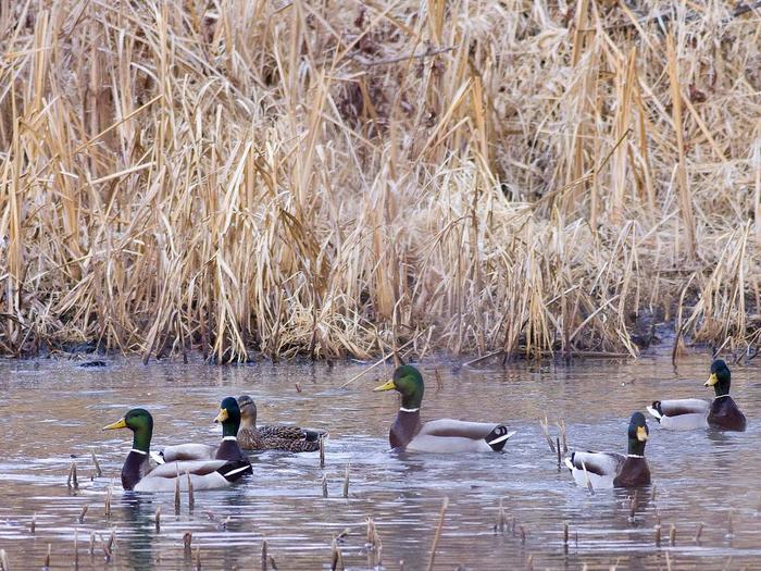
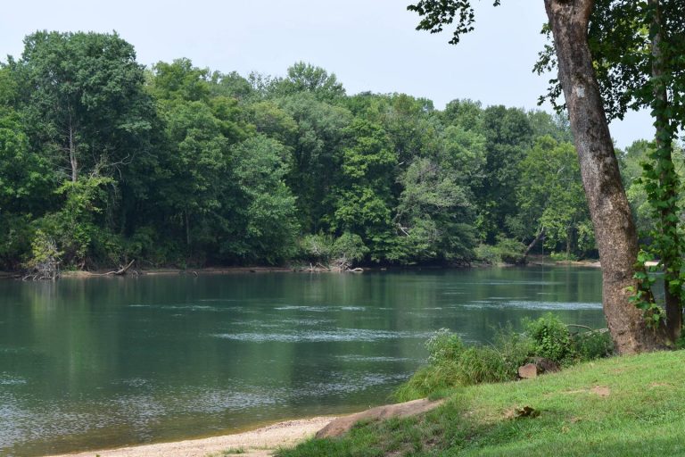
DeSoto National Wildlife Refuge is part of a network of refuges devoted to preserving and restoring increasingly scarce habitat for migratory waterfowl and other wildlife. The refuge is comprised of 8,358 acres in Iowa and Nebraska and lies in the Missouri River Valley floodplain on a former meander of the Missouri River. Each year, especially during the fall, spectacular flights of ducks and geese mark the changing seasons along this traditional waterfowl flyway. An interesting assortment of warblers, raptors, shorebirds, and other bird life can be observed also. The 1968 excavation of the steamboat Bertrand, which sank in 1865, adds a major historical emphasis to the refuge program. The 200,000 pieces in the Bertrand Collection provide one of the most significant assemblages of Civil War era artifacts in the country. A former oxbow of the Missouri River, DeSoto Lake, provides recreational use for up to 250,000 visitors annually. The DeSoto Visitor Center provides an introduction to the refuge, exhibits the Bertrand Collection, and contains interpretive displays on the historical development of the Missouri River Basin, the ecological impacts of that development, and the natural history of the area.


