Directions
The refuge’s trailheads are located along White Marsh Road- Route 642, in Suffolk, Virginia. From Interstate-664, take exit-13A toward Suffolk. Follow Route 58 West to the Downtown Suffolk exit. Follow Business 58 West to the first traffic light. Turn left onto Route 337- East Washington Street. Follow East Washington Street to the White Marsh Road intersection. Turn left onto White Marsh Road and follow to the Jericho Ditch(0.9 miles) and Washington Ditch (4.4 miles) entrances. The refuge office is located on Desert Road in Suffolk, Virginia. Follow White Marsh Road to the intersection of Desert Road. Turn left and follow Desert Road, approximately 1.6 miles. Refuge headquarters is on the left.
Phone
757-986-3705
Activities
AUTO TOURING, BIKING, BOATING, INTERPRETIVE PROGRAMS, FISHING, HIKING, HUNTING, WILDLIFE VIEWING, ENVIRONMENTAL EDUCATION, PHOTOGRAPHY
Camping Reservations
Reserve your campsite at these camping areas:
Hiking Trails
Looking for nice hiking areas to take a hike? Choose from these scenic hiking trails:
Related Link(s)
More Virginia Recreation Areas
Great Dismal Swamp National Wildlife Refuge
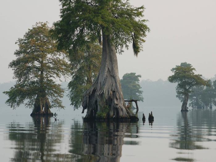
The Great Dismal Swamp NWR is located in southeastern Virginia and northeastern North Carolina. It includes over 111,000-acres of forested wetlands, with Lake Drummond, a 3,100-acre lake, at its heart. The Great Dismal Swamp has long been considered a place of natural beauty, mystery, and legend. The swamp is an integral part of the cultural history of the region and remains a place of refuge for both wildlife and people. The Dismal Swamp Canal, operated by the Army Corps of Engineers makes up the eastern boundary of the refuge. On the western side of the refuge, two trail entrances, Jericho and Washington Ditch, provide access to some of the 100 miles of hiking trails in the refuge.

