Directions
The Price Canyon Recreation Area is 12 miles north of Price, Utah. Take U.S. Highway 50/6 North from Price and turn left at the entrance sign. From the highway, drive up the mountain three miles to the recreation site. A paved entrance road winds up a steep hill to a junction from which you may proceed directly to the Price Canyon Overlook, the campground or the picnic area.
Phone
435-636-3600
Activities
AUTO TOURING, CAMPING, HIKING, HUNTING, WILDLIFE VIEWING, ENVIRONMENTAL EDUCATION, PHOTOGRAPHY
Camping Reservations
Reserve your campsite at these camping areas:
Hiking Trails
Looking for nice hiking areas to take a hike? Choose from these scenic hiking trails:
Related Link(s)
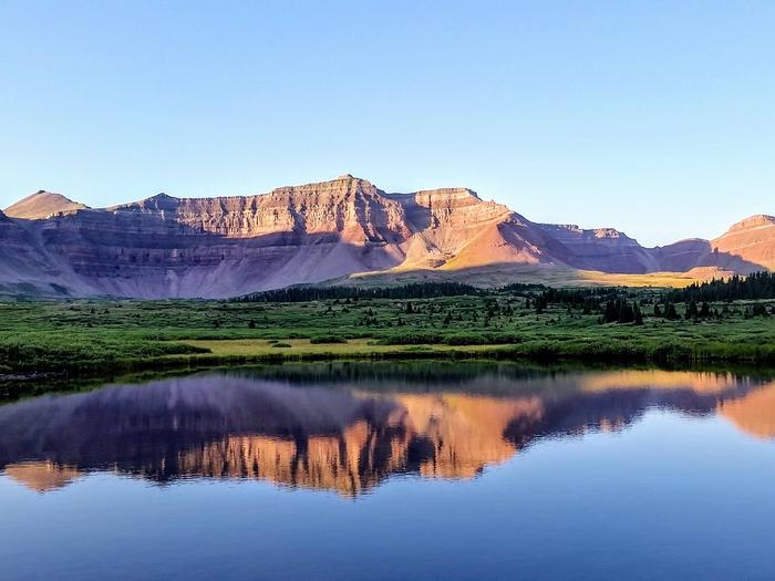
The Price Canyon Recreation Area offers visitors a chance to enjoy cooler temperatures and the shade of large ponderosa pine trees during the summer. The recreation area is located on a ridge high above Price Canyon.
The Price Canyon Recreation Area boasts a nature trail that features a stand of bristlecone pine trees. The bristlecone pine tree is one of the longest living life forms on Earth.
The entrance road and scenic overlook road are easily accessible by automobile while hiking trails provide excellent views of our rugged canyon country.
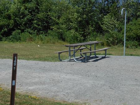
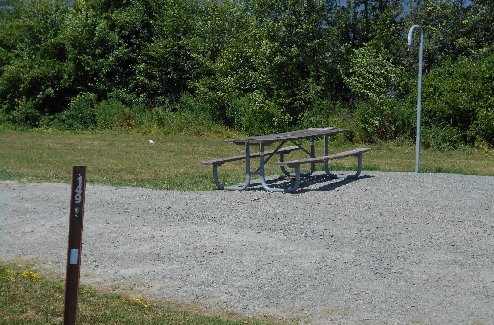
Large, well-spaced campsites area available as first come first serve. Facilities at the campground include picnic tables, fire rings, vault toilets and parking spaces. Three group picnic areas with large picnic tables, toilets fire rings and paring are available by reservation call 435-636- 3600.
There is a nature trail that leads to stands of bristle cone pine trees then follows the old road to the Ford Ridge communication towers.
The road up to Price Canyon Recreation Area is narrow and steep, with tight turns and switchbacks. Long vehicle lengths not recommended. Vehicle length should generally not exceed 35 feet (truck with a short trailer).