Directions
Take Interstate Highway 39 North and exit onto U.S. Route 10, headed west. From central Stevens Point, take County Road HH across the Wisconsin River. Turn left onto River Road. Proceed approximately 1.5 miles to the Portage County boat launch.
Phone
414-297-4400
Activities
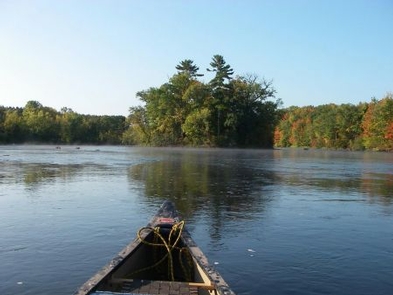
CAMPING, FISHING, WATER SPORTS, WILDLIFE VIEWING, ENVIRONMENTAL EDUCATION, PHOTOGRAPHY, SNORKELING
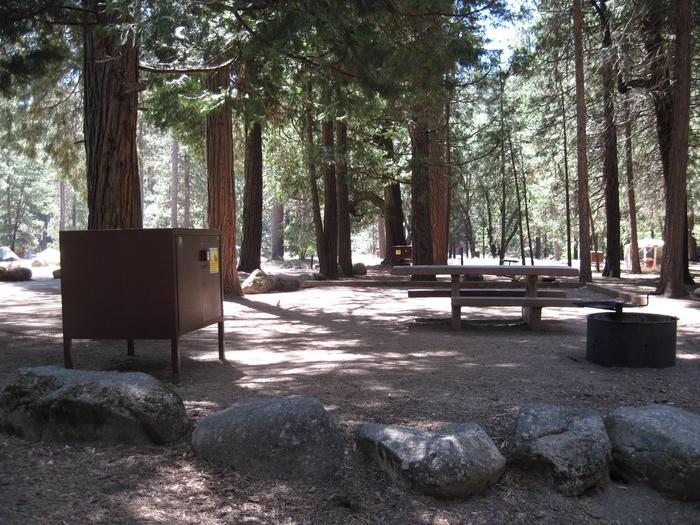
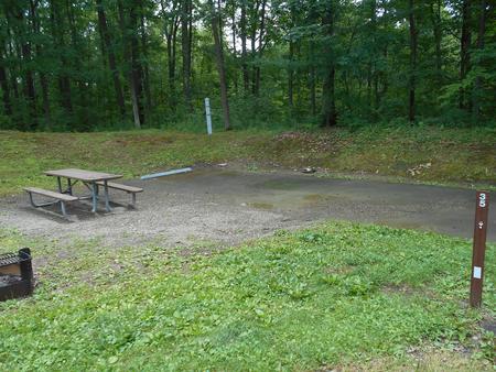
Camping Reservations
Reserve your campsite at these camping areas:
Hiking Trails
Looking for nice hiking areas to take a hike? Choose from these scenic hiking trails:
Related Link(s)
More Wisconsin Recreation Areas
BLM Eastern States YouTube Channel
BLM Eastern States Facebook Page
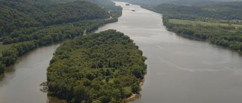
Wisconsin, with its 84,000 miles of rivers and 15,000 lakes, is full of places to paddle, float, fish, or just watch and listen. The BLM has a share in all this beauty, as we manage almost 500 islands in Wisconsin’s rivers and lakes. Many islands in this region were omitted from the original land surveys conducted in the 1830s and 1840s, and we don t manage all of them. Many of the islands we do manage are close to other state-owned and privately owned islands, so it’s critical that visitors determine whether an island is public land before using it.
The flowages between Stevens Point and Nekoosa are chock-full of more than 60 public islands, ranging from small, low patches of willows and alder, to large stands of mixed pines and hardwoods. Below Castle Rock Lake, the islands down to Prairie du Sac are mostly floodplain forests with broad sandbars that invite paddler-campers. A few of these islands have remnant prairie and savanna vegetation.
Many public islands are perfect fishing spots, lunch stops for your next float trip, or overnight campsites. Future management plans include the posting signs so recreationists may know which ones are available for public use and local restrictions, if any.
Would you like to volunteer as a BLM public island steward? Contact Derek Strohl, dstrohl@blm.gov.