Directions
To reach Big Cedar Ridge, travel east from Worland on U.S. Highway 16 for approximately 15 miles then turn south onto BLM Road 1411 (Blue Bank Road). Follow Blue Bank Road for 14.5 miles and look for a parking area and interpretive panels on the right (west side of the road).
Phone
307-347-5100
Activities
INTERPRETIVE PROGRAMS, WILDLIFE VIEWING, ENVIRONMENTAL EDUCATION, PHOTOGRAPHY
Camping Reservations
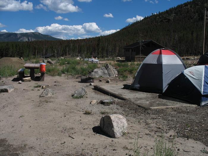
Reserve your campsite at these camping areas:
Hiking Trails
Looking for nice hiking areas to take a hike? Choose from these scenic hiking trails:
Related Link(s)
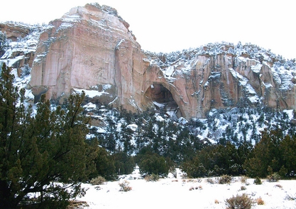
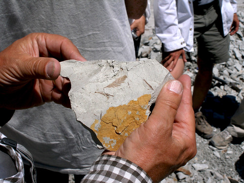
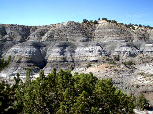
The Big Cedar Ridge Fossil Site is located in the great wide open southeast of Worland. Seventy million years ago, a mudflow of volcanic ash suddenly entombed the entire landscape around Big Cedar Ridge. The plants were fossilized where they were growing. In the past 20 years, scientists have identified over 100 new plant species and have been able to distinguish at least five different types of insects that fed on the plants at Big Cedar Ridge. Interpretive panels discuss the geology and illustrate the fossilized plants of the area.
On BLM-managed land, reasonable amounts of common plant and invertebrate fossils (like those from leaves, cones, seeds, clams and corals) can be collected for personal use. Vertebrate fossils (like those from dinosaurs, fish and turtles) and archeological artifacts cannot be collected without permission from the local BLM office.