Directions
Proceed on California State Highway 99 to the community of Earlimart. Earlimart is located about 9 miles north of Delano, and 6 miles south of Pixley. Take Avenue 56, exit 65, continue west 12 miles to the community of Alpaugh. (Note: about 3 miles after crossing State Highway 43, the name of the road changes to Avenue 54). In the center of Alpaugh turn left (south) on Road 38 continue 2 miles. Here, continue straight on the graveled road, follow signs about 1 mile to the wildlife viewing platform in the Ton Tache Wetlands.
Phone
661-391-6000
Activities
HIKING, HORSEBACK RIDING, WILDLIFE VIEWING, PHOTOGRAPHY
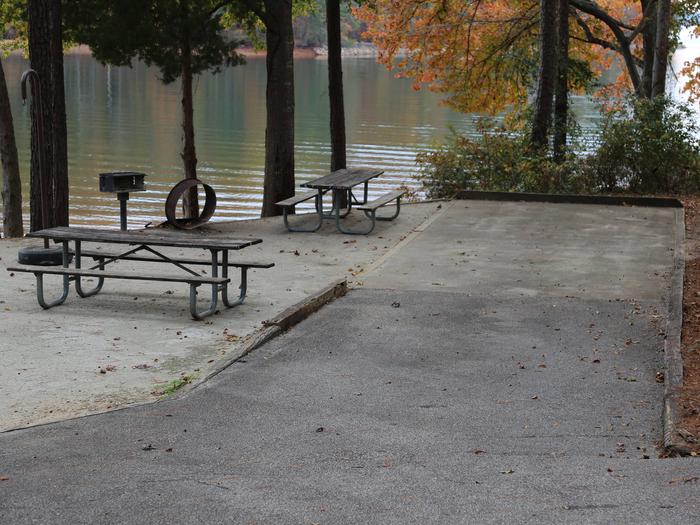
Camping Reservations
Reserve your campsite at these camping areas:
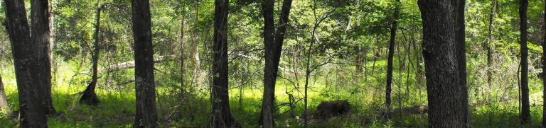
Hiking Trails
Looking for nice hiking areas to take a hike? Choose from these scenic hiking trails:
Related Link(s)
More California Recreation Areas
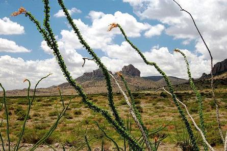
Atwell Island Restoration Project (AIP) is located in the historic Ton Tache Wetland basin and the Sand Ridge on the southern edge of Historic Tulare Lake. The AIP began in 2000 and consists of 8,000 acres of restored native valley grassland, a wetland, and alkali sink habitats on an area that has been farmed for the past century. The Atwell Island Project is an important wintering area for migratory waterfowl, shorebirds, songbirds and other water birds in the southern San Joaquin Valley. The AIP is one of the few remaining wetlands left in the area providing opportunities to enjoy wildlife viewing, nature study and photography, particularly during the fall migration. AIP features a wetland viewing platform as well as a nature trail showcasing the restored upland habitat for recreational use.