Directions
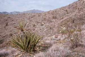
From Needles, CA, take U.S. Highway 95 south approx. 45 miles to CA State Highway 62. Turn right on Hwy 62 and drive west approx. 8 miles to BLM Route NS733 – Castle Rock Road. Turn right onto NS733 and drive approx. 9 miles to the Turtle Mountain Wilderness Area boundary. A small parking area is present at the trailhead.
Phone
760-326-7000
Activities
BIKING, CAMPING, HIKING, HORSEBACK RIDING, HUNTING, WILDLIFE VIEWING, PHOTOGRAPHY
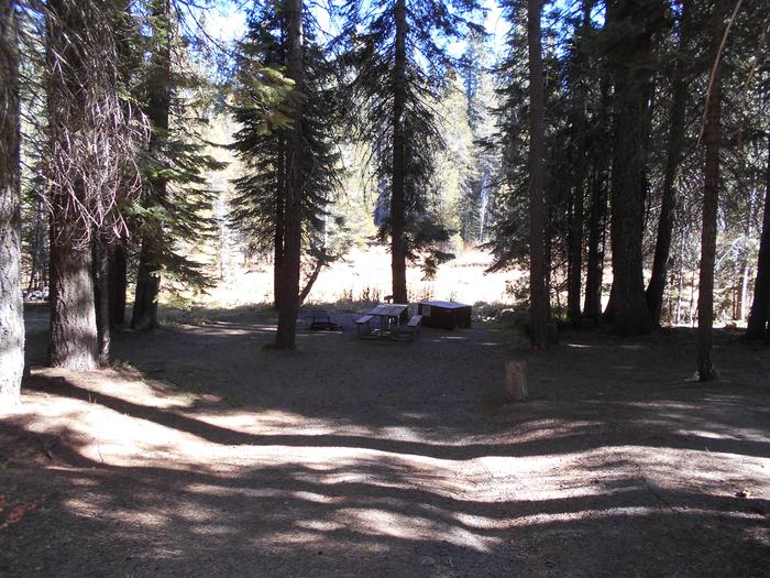
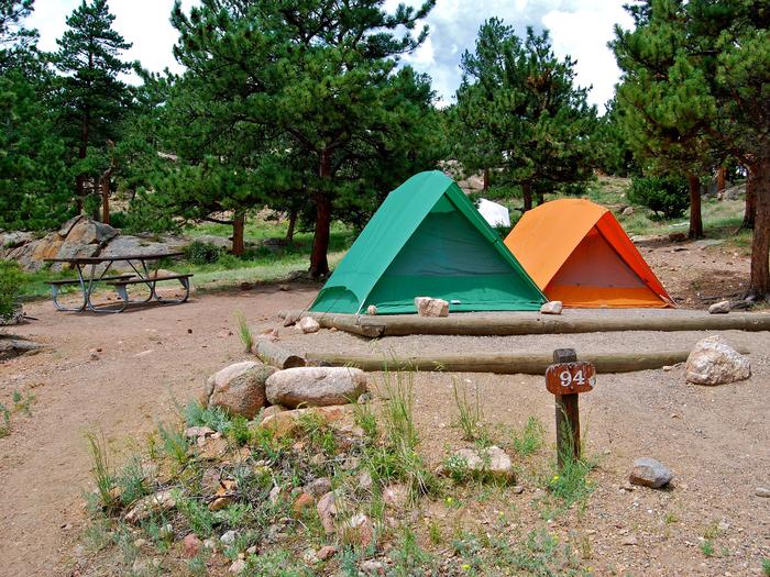
Camping Reservations
Reserve your campsite at these camping areas:
Hiking Trails
Looking for nice hiking areas to take a hike? Choose from these scenic hiking trails:
Related Link(s)
More California Recreation Areas
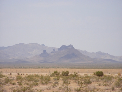
Castle Rock’s is accessible from California Highway 62, near the railroad crossing west of Vital Junction. The trail and Castle Rock itself are both located within the Turtle Mountain Wilderness area. The hike is not very strenuous, and is approximately 8 miles round trip.