Directions
Lake Abert and Abert Rim are located northeast of Valley Falls in south central Oregon, about 25 miles north of Lakeview, Oregon on U.S. Route 395.
Phone
541-947-2177
Activities
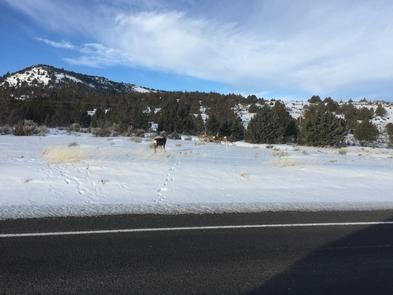
AUTO TOURING, BIKING, BOATING, CLIMBING, CAMPING, FISHING, HIKING, PICNICKING, WILDLIFE VIEWING, DAY USE AREA, INFORMATION SITE, PHOTOGRAPHY, PADDLING, SWIMMING
Camping Reservations
Reserve your campsite at these camping areas:
Hiking Trails
Looking for nice hiking areas to take a hike? Choose from these scenic hiking trails:
Related Link(s)
Overview:
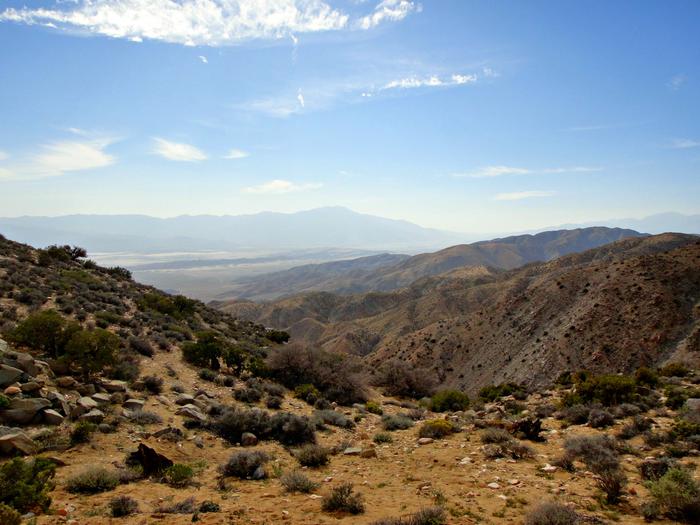
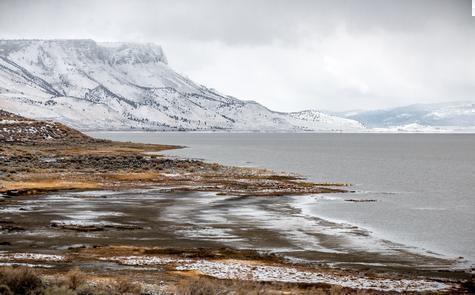
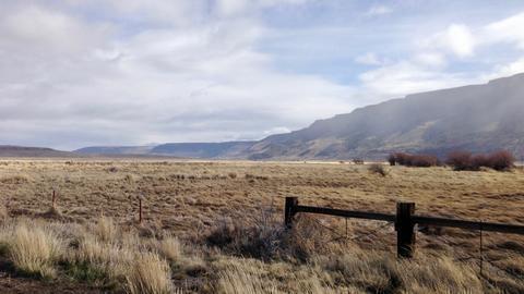
Lake Abert and Abert Rim offer a classic example of basin and range landscape. Abert Rim is the longest exposed fault scarp in North America, and one of the highest fault scarps in the United States. It towers 2,500™ over Lake Abert, Oregon’s only saltwater lake. Its waters and shoreline attract a diverse population of migratory waterfowl. After basaltic flood lavas covered much of eastern Oregon about 5 to 23 million years ago, great blocks of the Earth™s crust subsequently tilted, resulting in the raised scarp and lakebed seen today.
Know Before You Go:
- Open Season Lake Abert and Abert Rim are open YEAR ROUND.
- Numerous Pullouts on U.S. Route 395 provide opportunities to view scenery and wildlife.
- No Restrooms available.
- No Drinking Water available.
- No Food, Gas, or Lodging at Lake Abert or Abert Rim.
- The Nearest Services are in Lakeview, Oregon.
Point of Interest:
A designated Watchable Wildlife Area and viewpoint about five miles north of Valley Falls on U.S. Route 395 provides seasonal public viewing of migratory birds on the lake.