Directions
Traveling north, take State Route 113 south from Dover. At Milford take Route 1 south. Approximately 15 miles south of Milford the first traffic light is the intersection of Route 1 and 16. Turn left on Route 16 and follow for 1.1 miles toward Broadkill Beach. Turn left onto Turkle Pond Road and follow 1.6 miles to office/visitor contact station. From the south, travel north on US 13/113 into Delaware to State Route 16 (10 milesnorth of Georgetown). Turn right on State Route 16 and travel to the intersection of Route 1/16. Follow Route 16, 1.1 miles and turn left onto Turkle Pond Road. Follow Turkle Pond Road to office/visitor contact station.
Phone
302-684-8419
Activities
BOATING, INTERPRETIVE PROGRAMS, FISHING, HIKING, HUNTING, VISITOR CENTER, WILDLIFE VIEWING
Camping Reservations
Reserve your campsite at these camping areas:
Hiking Trails
Looking for nice hiking areas to take a hike? Choose from these scenic hiking trails:
Related Link(s)
More Delaware Recreation Areas
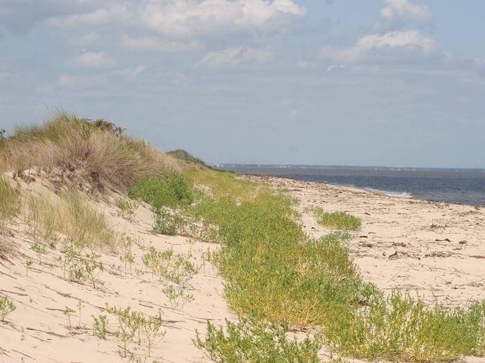
Prime Hook NWR is located 22 miles southeast of Dover, DE, near the western shore of Delaware Bay. In 1963, Prime Hook National Wildlife Refuge was established under the authority of the Migratory Bird Conservation Act for use as an inviolate sanctuary, or any other management purpose, expressly for migratory birds. The refuge is considered to have one of the best existing wetland habitat areas along the Atlantic Coast. The intensively managed freshwater impoundments have become important stop-over sites for spring and fall migrating shorebirds and wading birds. Endangered and threatened species management activities provide habitat for the Delmarva fox squirrel, nesting bald eagles and migrating peregrine falcons. Neotropical land birds passing through the area utilize the refuge’s upland forested habitat during the fall and spring. The refuge’s 10,000 acres are a diverse landscape featuring freshwater and salt marshes, woodlands, grasslands, scrub-brush habitats, ponds, bottomland forested areas, a 7 mile long creek, and agricultural lands. These cover types provide habitat for approximately 267 species of birds, 35 species of reptiles and amphibians and 36 different mammals.


