

Directions
Driving from the east: from I-25, take US Hwy 34 or 36. Driving from the west: from I-70, take US Hwy 40 to Granby to US Hwy 34 to Grand Lake. From mid-October until late May, Trail Ridge Road between Estes Park and Grand Lake is closed to vehicles, so driving between the two takes ~4 hours. The closest airport is Denver International (DIA). There is no public transportation between nearby cities and the park.
Phone
(970) 586-1206
Activities
AUTO TOURING, BIKING, CLIMBING, HISTORIC & CULTURAL SITE, CAMPING, FISHING, HIKING, HORSEBACK RIDING, PICNICKING, WILDLIFE VIEWING, SNOWPARK
Camping Reservations
Reserve your campsite at these camping areas:
Hiking Trails
Looking for nice hiking areas to take a hike? Choose from these scenic hiking trails:
Related Link(s)
More Colorado Recreation Areas
Rocky Mountain National Park Official Website
Rocky Mountain National Park Map
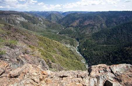
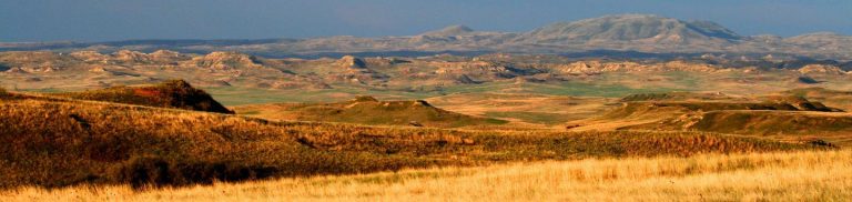
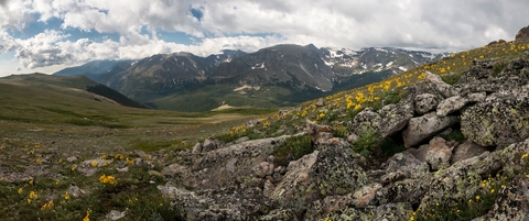
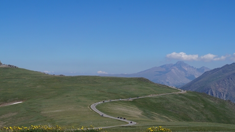
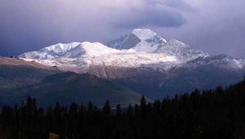
Rocky Mountain National Park™s 415 square miles encompass and protect spectacular mountain environments. Enjoy Trail Ridge Road “ which crests at over 12,000 feet including many overlooks to experience the subalpine and alpine worlds “ along with over 300 miles of hiking trails, wildflowers, wildlife, starry nights, and fun times. In a world of superlatives, Rocky is on top!