Muddy Creek, Utah Camping & Hiking

Muddy Creek, Utah Camping & Hiking

Muddy Creek Image Gallery

Directions

Muddy Creek WSA is located in Emery County, about 30 miles south of Emery, UT

Phone

435-636-3600

Camping Reservations

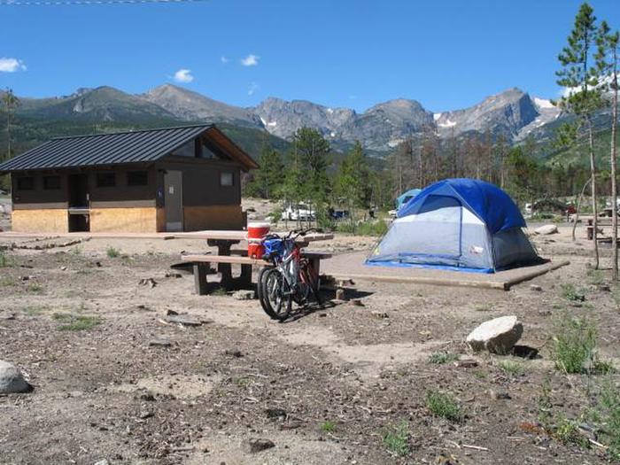
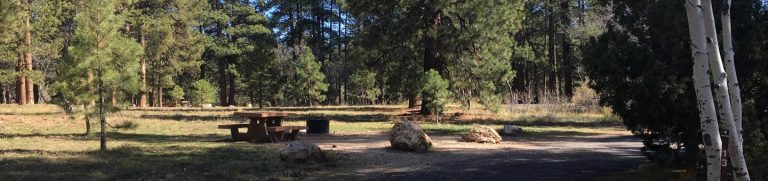
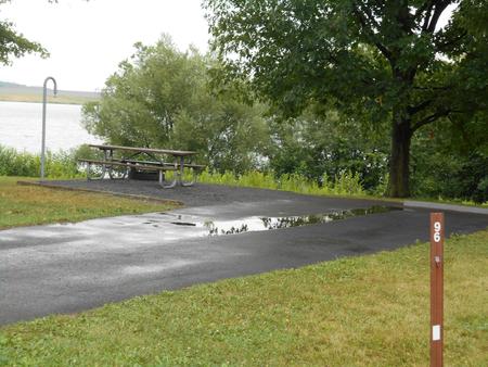
Reserve your campsite at these camping areas:

Utah Campgrounds

Hiking Trails

Looking for nice hiking areas to take a hike? Choose from these scenic hiking trails:

Utah Hiking Trails

Related Link(s)

More Utah Recreation Areas

The WSA includes a portion of the San Rafael Reef. Muddy Creek, a tributary of the Dirty Devil River to the south, flows east across the northern portion of the WSA then south through the eastern portion, and has a deep canyon through the study area. The south-central portion of the WSA consists of steep mesas. The southern part of the study area is a mesa bisected by Muddy Creek Canyon, and is referred to as The Pasture west of the canyon and Keesle Country east of the canyon.

More from CampingHiking.net:

Dirty Devil River, Utah Camping & Hiking

Directions River put-in is 4 miles east of State Route 95 on 650 East Phone (435) 542-3461 Activities BOATING, HIKING, HORSEBACK RIDING, PHOTOGRAPHY Camping Reservations Reserve your campsite at these

Hanging Rock Recreation Site, Utah Camping & Hiking

Directions On the south side of highway 21 in between Beaver and Minersville. Phone (435) 865-3000 Activities AUTO TOURING, FISHING, HIKING, WILDLIFE VIEWING, PHOTOGRAPHY Camping Reservations Reserve your campsite at

Colorado, Colorado Camping & Hiking

Directions From the town of Kremmling drive south on State Highway 9 approximately 1 mile to the intersection with Trough Road (county road 1). Turn right onto Trough road and