Directions
From Kansas City (about 100 miles) go north on I-35 to Route 36; east on 36 to State Route 139; south on 139 to Sumner; then south on Swan Lake Drive about 3 miles to the refuge. From Mendon, Missouri, go north on Route CC 1.5 miles to the east entrance gate of the refuge, then left into the refuge interior.
Phone
660-856-3323
Activities
AUTO TOURING, BOATING, INTERPRETIVE PROGRAMS, FISHING, HIKING, HUNTING, VISITOR CENTER, WILDLIFE VIEWING
Camping Reservations
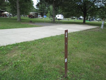
Reserve your campsite at these camping areas:
Hiking Trails
Looking for nice hiking areas to take a hike? Choose from these scenic hiking trails:
Related Link(s)
More Missouri Recreation Areas
Swan Lake National Wildlife Refuge was established by Executive Order 7563 on February 27, 1937. Purchase of 10,670 acres began at that time. Following purchase of land, the Civilian Conservation Corps began work on the refuge creating wetlands, constructing roads and buildings, and initiating the refuge farming program. The primary purpose of the refuge is to provide nesting, resting, and feeding areas for waterfowl, primarily ducks. An important secondary purpose was to preserve a remnant flock of prairie chickens. Unfortunately, adequate grassland habitat to maintain a viable population of the birds was not available. Since establishment of the refuge, the primary emphasis on waterfowl species has been expanded to include the Eastern Prairie Population of Canada geese. Canada geese were first observed using the refuge in the early 1940s, and numbers increased gradually to peak populations over 150,000 birds annually. Although these populations have steadily declined, Swan Lake is still considered a primary wintering area for Canada geese. The refuge lies in the floodplain of the Grand River, near its confluence with the Missouri River in north-central Missouri. Flooding is common, especially during spring and summer periods. In addition to waterfowl management objectives, providing habitat for resident wildlife, protecting endangered and threatened species, encouraging biodiversity, developing shorebird habitat, and providing public opportunites for outdoor recreation and environmental education are on-going programs.

