Directions
From Richfield take 300N/Highway 119 east approximately 5 miles. Past the turnoff for the town of Glenwood, the open OHV Area will be to the north.
Phone
435-896-1500
Activities
AUTO TOURING, BIKING, CAMPING, HIKING, HORSEBACK RIDING, WINTER SPORTS, PHOTOGRAPHY, DIVING
Camping Reservations
Reserve your campsite at these camping areas:
Hiking Trails
Looking for nice hiking areas to take a hike? Choose from these scenic hiking trails:
Related Link(s)
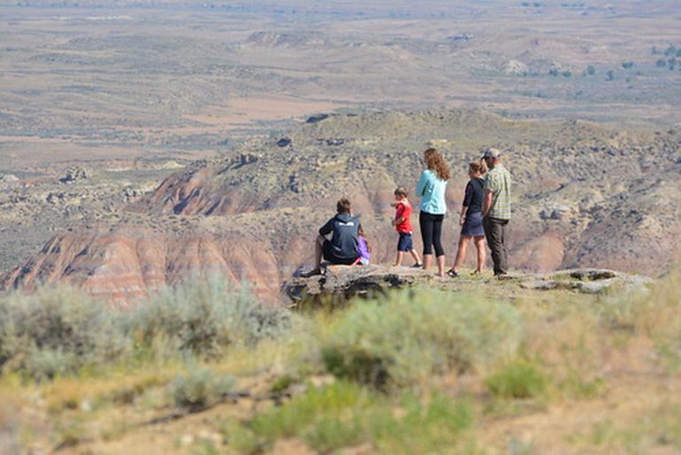
Glenwood Hills is a popular OHV destination in the Richfield Field Office. The clay hills in the arrapean formation appear to be the main riding attraction. Most use is concentrated in a generally oval area following the clay hills north to south. Access from west is across private lands, please pay attention to their concerns. The area offers excellent OHV challenges for hill climbing, trail riding, and general play riding. Glenwood Hills is located close to the major regional facilities in the Sevier Valley. Located in the Painted Hills formation on the east side of the Sevier valley, it covers public lands west of Highway 24 and north of Highway 119. Please be sure to keep all cross country travel within the open area boundaries.

