Directions
Lower Table Rock: From Interstate 5, take Exit 33 (Central Point). Travel east 1 mile; turn left on Table Rock Road. After 7.7 miles, turn left on Wheeler Road. The trailhead is 0.5 mile on the left.
Upper Table Rock: From Interstate 5, take Exit 33 (Central Point). Travel east 1 mile; turn left on Table Rock Road. After 5.5 miles, turn right on Modoc Road. The trailhead is 1.5 miles on the left.
Phone
541-618-2200
Activities
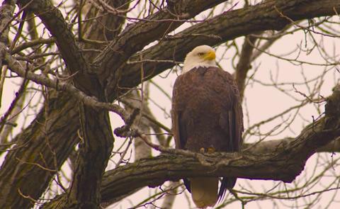
HIKING, WILDLIFE VIEWING, DAY USE AREA
Camping Reservations
Reserve your campsite at these camping areas:
Hiking Trails
Looking for nice hiking areas to take a hike? Choose from these scenic hiking trails:
Related Link(s)
Explore Oregon Recreation: Table Rocks Recreation Area
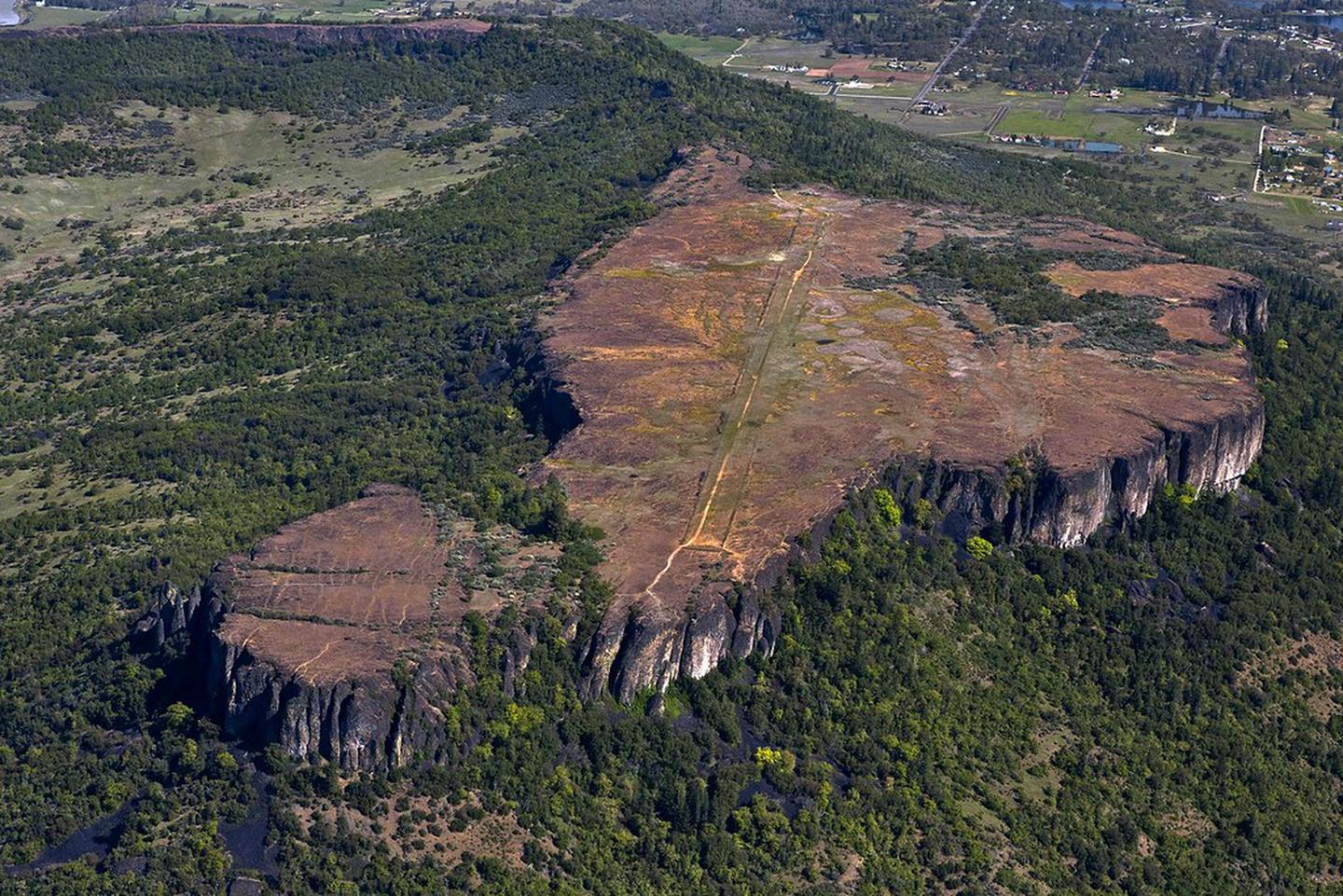
Rising dramatically above the Rogue Valley, these two prominent, lava-capped mesas offer outstanding hiking opportunities and access to an incredible array of biological diversity. Just a short climb”2.5 miles round trip on Upper Table Rock Trail or 3.5 miles round trip on Lower Table Rock Trail”results in panoramic views of the Rogue Valley and the surrounding Cascade and Siskiyou Mountains. The 0.5-mile wheelchair accessible Oak Savannah Loop Trail on Lower Table Rock provides a less strenuous alternative. Spring wildflowers on both Table Rocks are spectacular with up to 75 species of wildflowers on display!
Know Before You Go:
- Open year-round.
- Day-use only.
- Trails are open to hiking only.
- Dogs are not allowed on the trails.
- Restrooms are available at trailheads.
- No drinking water is available.
- No trash cans; pack out trash.
- Use the weed stations at the trailheads before and after your hike to avoid spreading noxious weeds.
- Trails may be muddy, icy, and slippery in the winter.
- Be aware of ticks, poison oak, rattlesnakes, and unstable cliff edges.
Point of Interest:
The BLM and The Nature Conservancy cooperatively manage the Table Rocks and offer guided educational hikes for school groups and the public in the spring.
Explore Oregon Recreation: Table Rocks Recreation Area