Directions
The North Sand Hills OHV Area is located in Jackson County, approximately 11 miles northeast of Walden. From Walden, take Highway 125 north about 10 miles, then turn east on County Road 6. Continue about 3.5 miles, then turn right on county road 6N and go about 2 miles. Stage anywhere. the OHV Area is immediately adjacent to the ISA.
Phone
(970) 724-3000
Activities
CAMPING, OFF HIGHWAY VEHICLE
Camping Reservations
Reserve your campsite at these camping areas:
Hiking Trails
Looking for nice hiking areas to take a hike? Choose from these scenic hiking trails:
Related Link(s)
More Colorado Recreation Areas
BLM North Sand Hills Campground
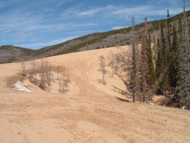
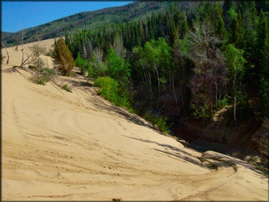
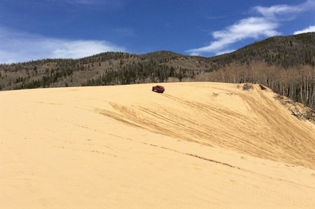
Colorado’s only open sand dune area for OHV recreation is situated at the eastern edge of North Park at the toe of the Medicine Bow Mountain Range. North Sand Hills provides unique riding opportunities for dirt bike, ATV, side- by-side and sand rail riders. Due to the area’s extreme landscape, it is important to be prepared and alert when riding OHVs. The area also has connecting trails into the State Forest State Park and adjacent U.S. Forest Service lands, all while providing the scenic backdrop of the Park and Medicine Bow Mountain Ranges.
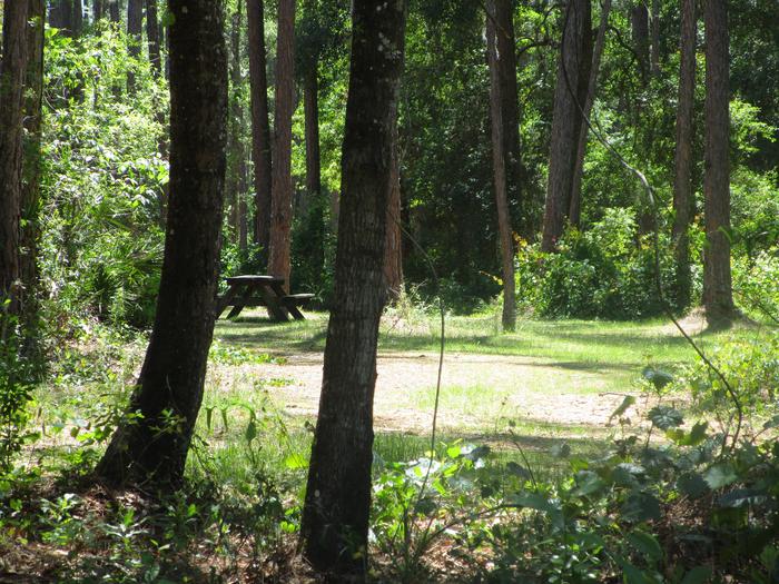
A small campground of 13 individual pull-through units with picnic tables and fire rings and other dispersed camping sites are available within the area. Whip flags on vehicles are not required but are recommended.
The North Sand Hills Instant Study Area is adjacent within the OHV area. Colorado OHV registration is required on all non-licensed vehicles. The North Sand Hills ISA represents a Cold Climate Eolian sand deposit, which comprises three active dune areas in Colorado. The morphology here consists of two large, active parabolic dunes with small, internal dunes migrating up the windward slopes. Several archaeological sites have been discovered, increasing the historical and cultural values of the area. The area is very popular, especially on holiday weekends during the summer. The area is seasonally closed to motorized use from December 15 to April 15 annually. Drive safely and obey posted speed limits through camp areas. For more information, please contact the Kremmling Field Office.

