Directions
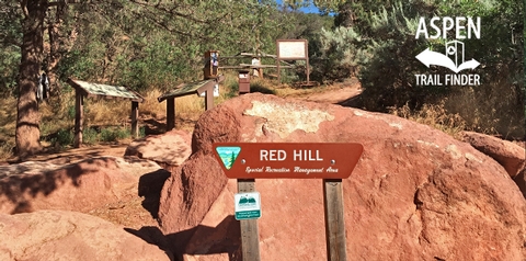
Turn north at the stoplight at the intersection of Highway 82 and Highway 133. Follow Red Hill Road (County Road 107) till you reach a large parking lot. This parking lot serves as a commuter parking lot as well during weekdays, so be aware that it can fill up. Head north up the dirt road (County Road 107) from the parking lot. The trail head is about 1/3 mile up and is clearly marked with a map kiosk on the left (west) side of the road.
Phone
970-876-9000
Activities
BIKING, HIKING
Camping Reservations
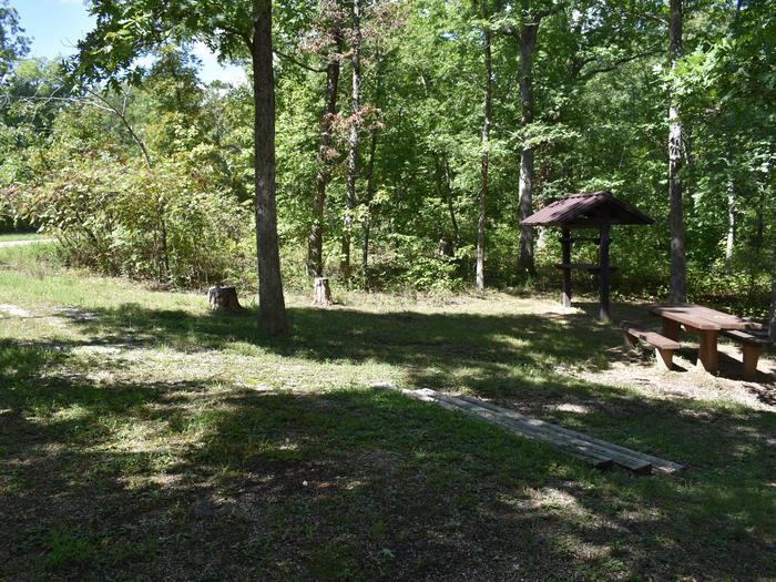
Reserve your campsite at these camping areas:
Hiking Trails
Looking for nice hiking areas to take a hike? Choose from these scenic hiking trails:
Related Link(s)
More Colorado Recreation Areas
Red Hill Special Recreation Management Area
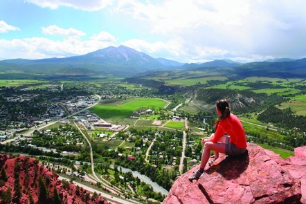
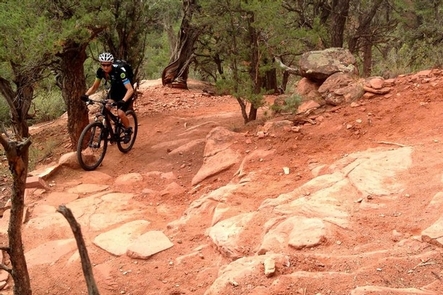
The Red Hill Special Recreation Management Area that sits just north of Carbondale and provides excellent trails for users to enjoy. The area is managed primarily for mountain biking and hiking with both groups represented well in user numbers. Use is relatively heavy topping 40,000 people per year. There are beautiful views of Mt. Sopris from the Mushroom Rock area. Red Hill is a red-rock landscape of numerous trails. The area offers views of both the Crystal River Valley and Roaring Fork Valley. Parking is very limited and may not be available. Parking is not permitted on the county road. For more information, please contact the Colorado River Valley Field Office.

