Directions
From I-70 in Glenwood Springs, take Hwy 82 south to Carbondale. Take Hwy 133 west to Hotchkiss. From the 133/92 intersection in Hotchkiss, take 92 SE to Crawford. In Crawford, take Dogwood Ave east out of town. Dogwood turns into Needlerock Road. Head east towards the Needle.
Phone
970-240-5300
Activities
CLIMBING, HIKING
Camping Reservations
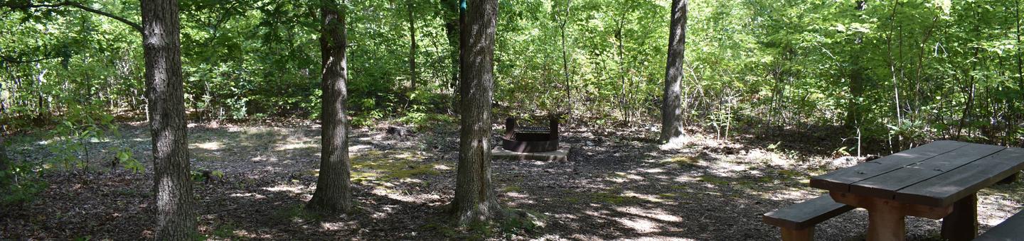
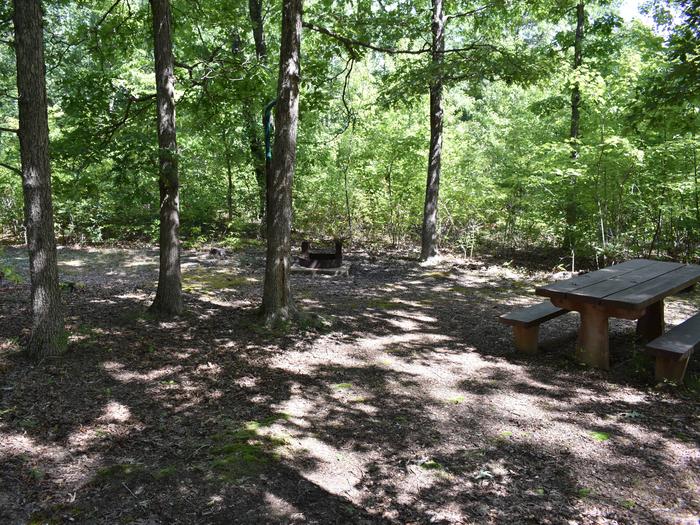
Reserve your campsite at these camping areas:
Hiking Trails
Looking for nice hiking areas to take a hike? Choose from these scenic hiking trails:
Related Link(s)
More Colorado Recreation Areas
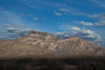
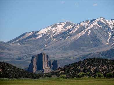
Needle Rock is an intrusive of rhyodacite volcanic plug located in the Needle Rock Natural Area, 3.5 miles east-northeast of the Town of Crawford in Delta County, Colorado, United States. It stands 800 feet tall above the floor of the Smith Fork of the Gunnison River valley. It originated as the throat of a large volcano about 28 million years ago in the Miocene geological epoch, when molten rock intruded between existing sedimentary rocks. The plug may represent the eroded conduit of a laccolith. There are private property parcels around the base, but there is a BLM trail that more or less rings the Needle.
Needle Rock lies within the western edge of the West Elk Mountains in western central Colorado. It is the remnant of a volcanic plug that pushed up through the crust, and due to the relative hardness of the basalt of which it is made, has eroded significantly slower than the surrounding mancos shale and sandstone that makes up many of the rocks in the area. Needle Rock Trail is a 0.8 mile lightly trafficked out and back trail located near Crawford, Colorado that offers scenic views and is rated as moderate. The trail offers a number of activity options and is best used from March until October. For more information, please contact the Uncompahgre Field Office.