Directions
From Burns, take State Highway 78 southeast for approximately 2 miles. Turn right onto State Highway 205 and travel south for 60 miles to Frenchglen. Just past Frenchglen, turn left onto the Steens Mountain Loop Road.
Phone
541-573-4400
Activities
AUTO TOURING, BIKING, BOATING, CLIMBING, HISTORIC & CULTURAL SITE, CAMPING, INTERPRETIVE PROGRAMS, FISHING, HIKING, HORSEBACK RIDING, HUNTING, OFF HIGHWAY VEHICLE, PICNICKING, WINTER SPORTS, RECREATIONAL VEHICLES, WILDLIFE VIEWING, WILDERNESS, DAY USE AREA, SWIMMING SITE, OBSERVATION SITE, INFORMATION SITE, PHOTOGRAPHY, PADDLING, SWIMMING
Camping Reservations
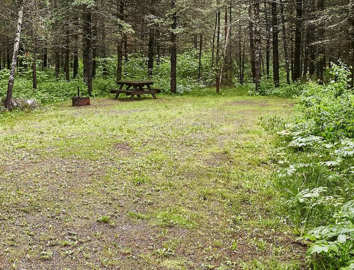
Reserve your campsite at these camping areas:
Hiking Trails
Looking for nice hiking areas to take a hike? Choose from these scenic hiking trails:
Related Link(s)
Overview:
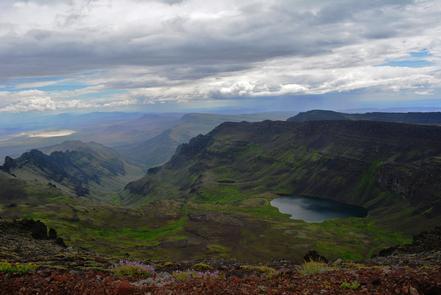
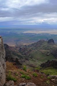
The Steens Mountain Cooperative Management and Protection Area (CMPA) is approximately 500,000 acres of private and public land offering diverse scenic and recreation experiences. The CMPA encompasses deep glacier-carved gorges, stunning scenery, wilderness, wild and scenic rivers, and a way of life for all who live there. The 52-mile Steens Mountain Backcountry Byway provides access to four campgrounds, numerous trails, the Riddle Brothers Ranch National Historic District, wild horse roaming areas, and opportunities for fishing and hunting. The views from Kiger Gorge, East Rim, Big Indian Gorge, Wildhorse, and Little Blitzen Gorge overlooks are not to miss!
Know Before You Go:
- There are long distances between services and amenities, such as fuel, drinking water, restrooms and cell phone reception.
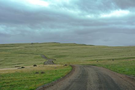
- Most roads in the area are rough and primitive, high clearance or 4×4 vehicles along with high quality tires are recommended.
- The remote nature and vast landscape of the area may leave even the most experienced traveler confused or lost. Traveling with a current map of the area is essential.
Point of Interest:
The Steens Mountain CMPA is a mixture of public and private lands and specially designated areas where particular regulations may apply. Obey road closure signs and stay on designated open routes (which are those shown on current BLM maps) driving off road is prohibited. Respect land owners and always get permission to go onto private property.
Steens Mountain Cooperative Management & Protection Area Brochure

