Directions
The Bitter Creek National Wildlife Refuge is closed to public use.
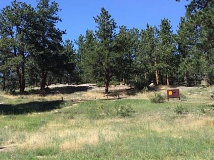
Wildlife viewing and photography are possible around the refuge, and best accessed from the Bitter Creek NWR sign outlook area on Hudson Ranch Rd. (formerly known as Cerro Noroeste Rd) Maricopa. The refuge encompasses the rolling foothills between the San Joaquin Valley and the coastal mountain range. Approximately two-thirds of the refuge is open grassland, providing valuable foraging habitat for California condors.
Hiking within the refuge is only allowed during specially guided tours by USFWS staff or members of Friends of California Condors Wild & Free. These usually take place a few times per year, especially during National Wildlife Refuge Week in October. Please call the refuge manager if you would like to arrange for a special tour at (805) 644-5185 X 296.
The refuge is administered by Hopper Mountain National Wildlife Refuge Complex which oversees Bitter Creek, Hopper Mountain, Blue Ridge, and Guadalupe-Nipomo Dunes NWRs, totaling 20,015 acres of conserved land. The refuge complex main office is located off-refuge at 2493 Portola Road, Suite A, in Ventura, California.
Phone
805-644-5185
Camping Reservations
Reserve your campsite at these camping areas:
Hiking Trails
Looking for nice hiking areas to take a hike? Choose from these scenic hiking trails:
Related Link(s)
More California Recreation Areas
Bitter Creek National Wildlife Refuge
The Bitter Creek National Wildlife Refuge is located in the southwestern San Joaquin Valley foothills of Kern County, California. Elevations on the Refuge range from 1,600 to 4,680 feet. Purchased to protect dwindling California condor foraging and roosting habitat in 1985, the 14,097-acre refuge is the site where the last wild female condor was trapped in 1986.
Today, the reintroduced condors feed and roost on the refuge. The refuge is an integral part of the Service’s condor monitoring activities. The most notable physical features of the refuge are the San Andreas Fault, which bisects the refuge, and the dramatic Bitter Creek Canyon.
In addition to the California condor, the Bitter Creek Refuge provides grassland, oak woodland, chaparral, pinion pine/juniper/oak woodland, and riparian and wetland habitat for Federally-listed endangered San Joaquin kit fox, blunt-nosed leopard lizard, giant kangaroo rat, and species of Federal concern such as western spade foot toad, western horned lizard, and tri-colored blackbird.
Other terrestrial species on the refuge include coyote, bobcat, mountain lion, mule deer, pronghorn antelope, tule elk, and western rattlesnake. A total of 119 bird species have been recorded on the refuge including 90 migratory species.

