Directions
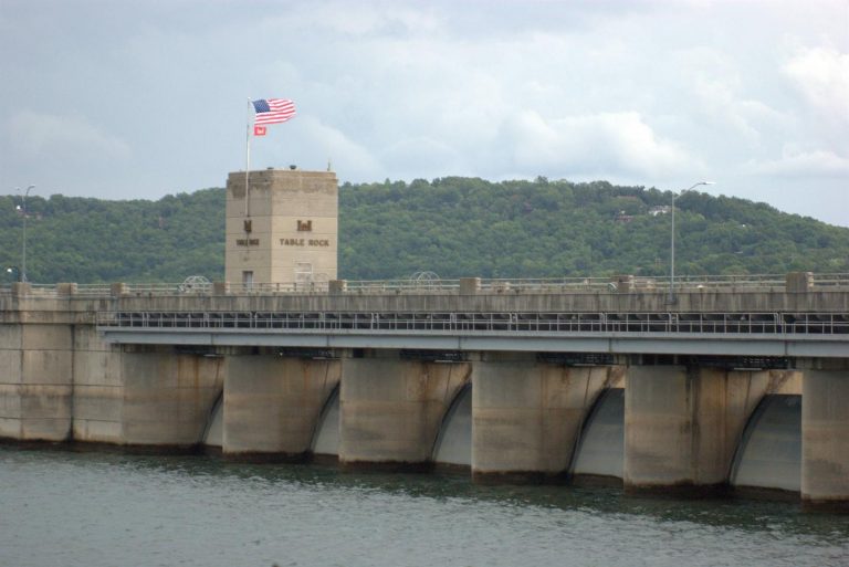
From Springfield, MO. 40 miles south on US 65 to Branson, MO. Then take US 165 west approximately 7 miles to Table Rock Dam.
Phone
(417) 334-4101
Activities
BOATING, CAMPING, FISHING, HIKING, PICNICKING, VISITOR CENTER, WATER SPORTS, WILDLIFE VIEWING, PLAYGROUND PARK SPECIALIZED SPORT SITE, OTHER RECREATION CONCESSION SITE, ENVIRONMENTAL EDUCATION
Camping Reservations
Reserve your campsite at these camping areas:
Hiking Trails
Looking for nice hiking areas to take a hike? Choose from these scenic hiking trails:
Related Link(s)
More Missouri Recreation Areas
Ozarks Rivers Heritage Foundation
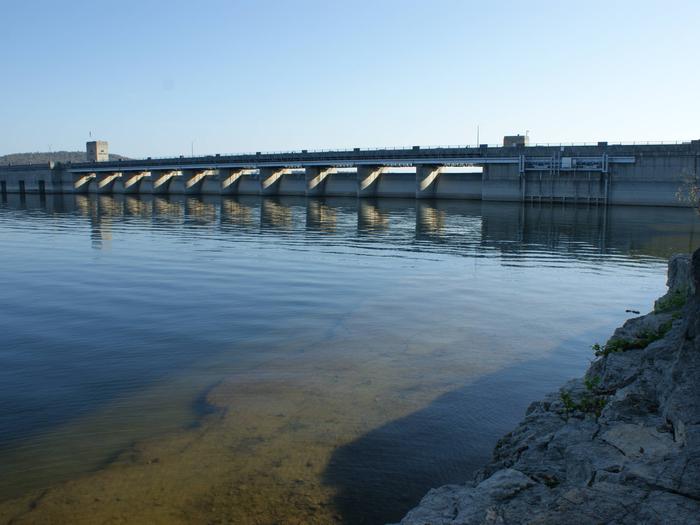
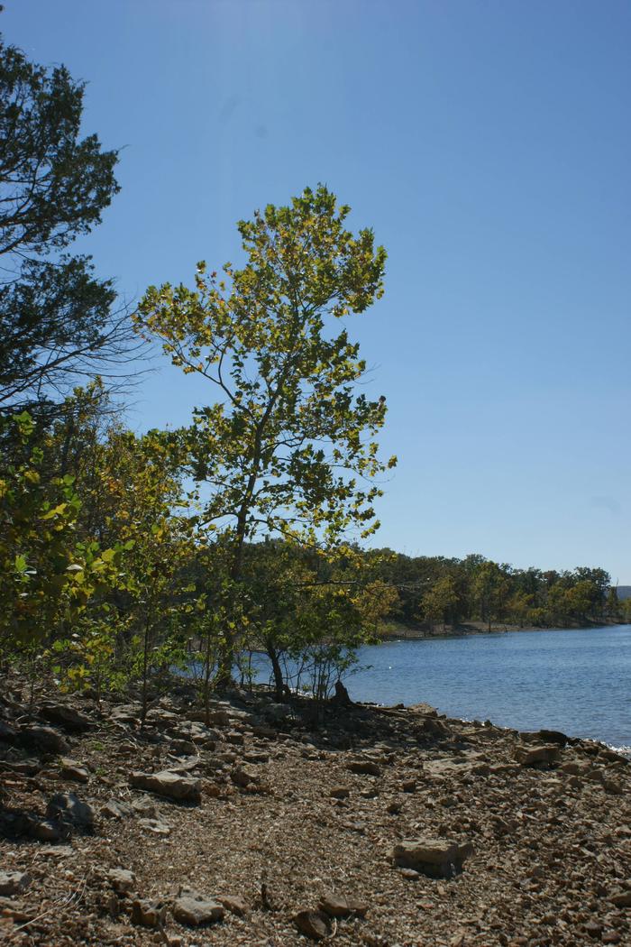
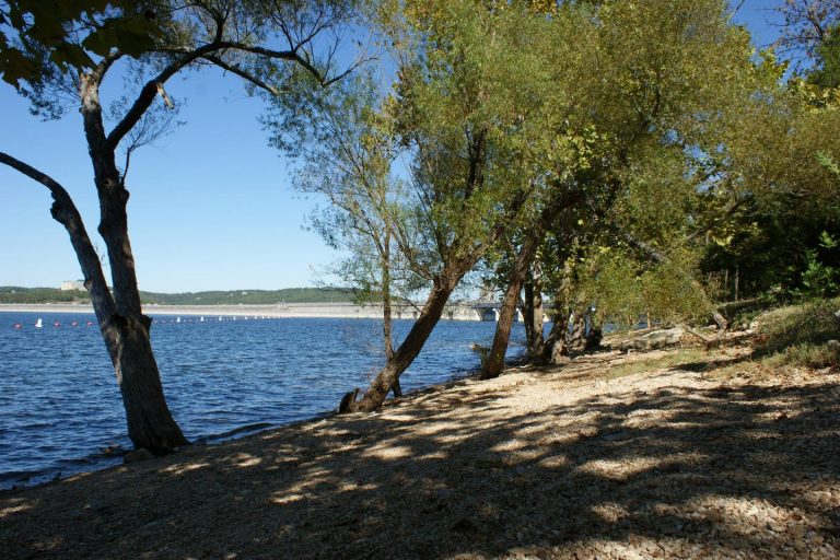
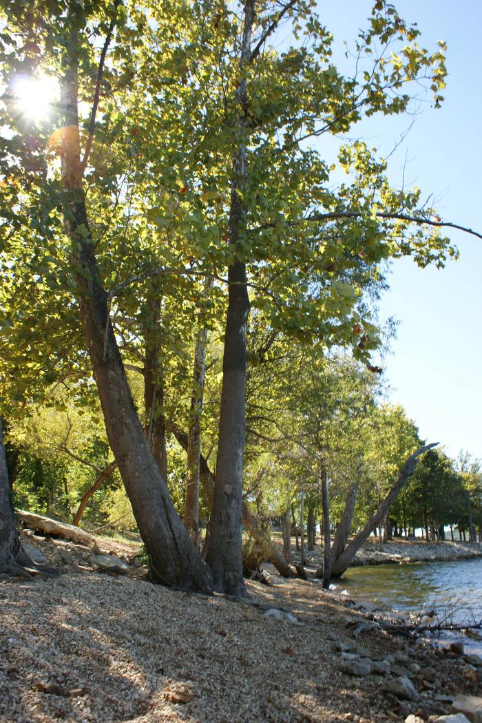
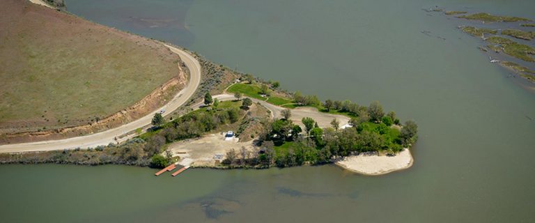
Winding through the valleys of the Ozark Mountains, from Branson, Missouri to Eureka Springs, Arkansas, Table Rock Lake is a paradise for boaters, scuba divers, campers and fishermen alike. Camping enthusiasts choose from 13 modern campgrounds located adjacent to the lake. Full-service marinas provide service and convenience to boaters. Resorts located adjacent to Table Rock Lake provide visitors with numerous water-related activities and five commercial boat cruises operate on Table Rock Lake seasonally.

