
Directions
Ten miles south of I-70 on Maryland Route 65
Phone
(301) 432-5124
Activities
BIKING, HISTORIC & CULTURAL SITE, CAMPING, HIKING, WILDLIFE VIEWING
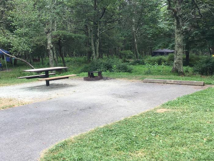
Camping Reservations
Reserve your campsite at these camping areas:
Hiking Trails
Looking for nice hiking areas to take a hike? Choose from these scenic hiking trails:
Related Link(s)
More Maryland Recreation Areas
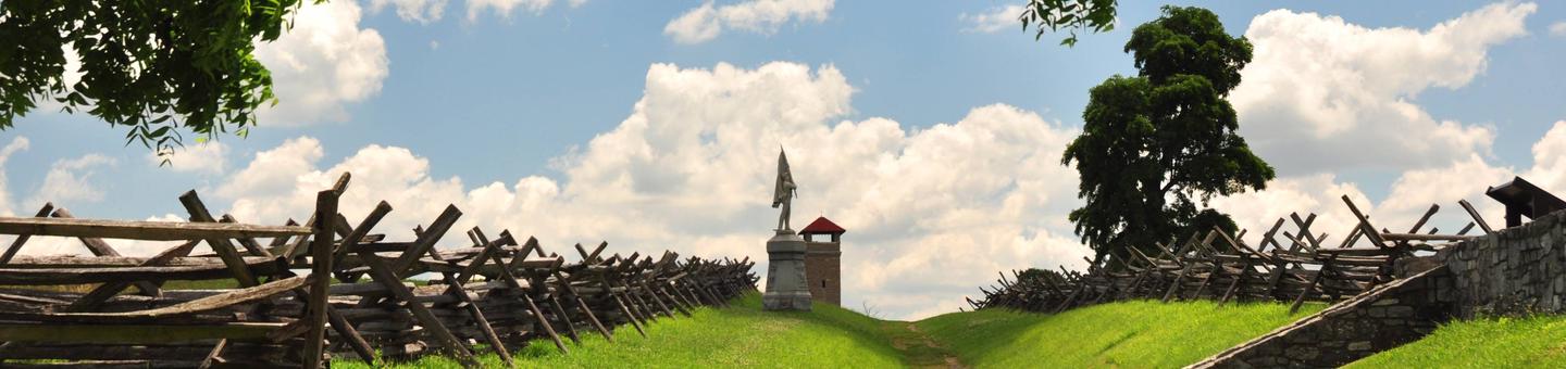
Antietam National Battlefield Official Website
Antietam National Battlefield Map
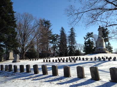
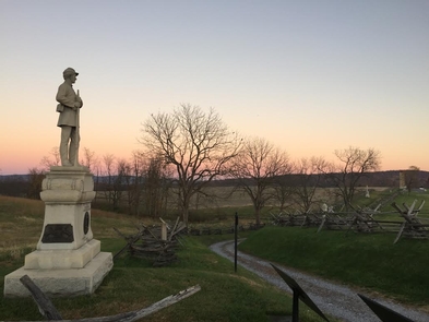
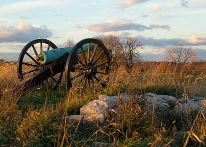
23,000 soldiers were killed, wounded or missing after twelve hours of savage combat on September 17, 1862. The Battle of Antietam ended the Confederate Army of Northern Virginia’s first invasion into the North and led Abraham Lincoln to issue the preliminary Emancipation Proclamation.