Directions
There are two entrances to Assateague Island National Seashore. Assateague’s north entrance is at the end of Route 611, eight miles south of Ocean City, MD. The south entrance is at the end of Route 175, two miles east of Chincoteague, VA. There is no vehicle access between the two entrances on Assateague Island. Vehicles must return to the mainland to access either the north or south entrance.
Phone
(410) 641-1441
Activities
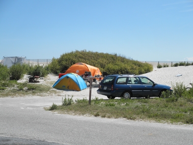
AUTO TOURING, BIKING, HISTORIC & CULTURAL SITE, CAMPING, FISHING, HIKING, HORSEBACK RIDING, HUNTING, WILDLIFE VIEWING, PADDLING, SWIMMING, HORSE CAMPING
Camping Reservations
Reserve your campsite at these camping areas:
ASSATEAGUE ISLAND NATIONAL SEASHORE CAMPGROUND
Hiking Trails
Looking for nice hiking areas to take a hike? Choose from these scenic hiking trails:
Related Link(s)
More Maryland Recreation Areas
Assateague Island National Seashore Official Website
Assateague Island National Seashore Map
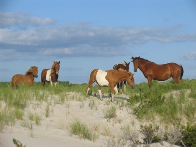
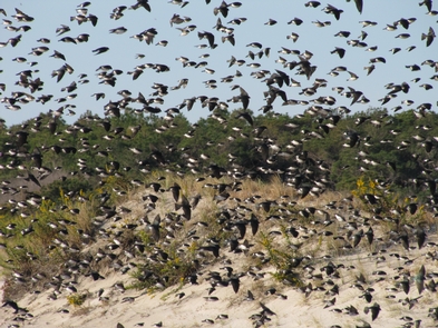
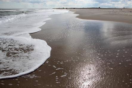
Want to live on the edge? Visit a place recreated each day by ocean wind and waves. Life on Assateague Island has adapted to an existence on the move. Explore sandy beaches, salt marshes, maritime forests and coastal bays. Rest, relax, recreate and enjoy some time on the edge of the continent.

