Black Canyon Of The Gunnison National Park, Colorado Camping & Hiking

Black Canyon Of The Gunnison National Park, Colorado Camping & Hiking

Black Canyon Of The Gunnison National Park Image Gallery

Directions

7 miles north on CO Highway 347 from the intersection with U.S. Highway 50 east of Montrose

Phone

(970) 641-2337

Activities

AUTO TOURING, CLIMBING, CAMPING, FISHING, HIKING, HORSEBACK RIDING, WILDLIFE VIEWING, PADDLING

Camping Reservations

Reserve your campsite at these camping areas:

Colorado Campgrounds

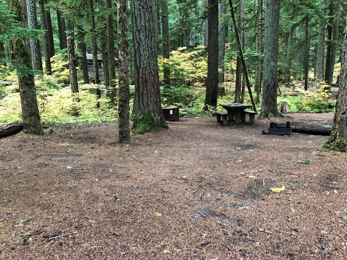
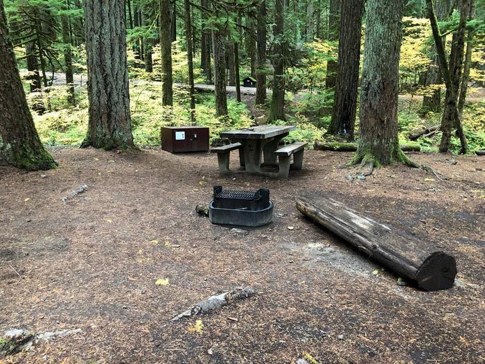
Black Canyon of the Gunnison NP South Rim Campground

Hiking Trails

Looking for nice hiking areas to take a hike? Choose from these scenic hiking trails:

Colorado Hiking Trails

Related Link(s)

More Colorado Recreation Areas

Black Canyon Of The Gunnison National Park Official Website

Black Canyon Of The Gunnison National Park Map

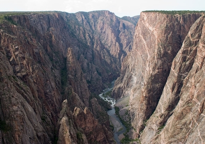
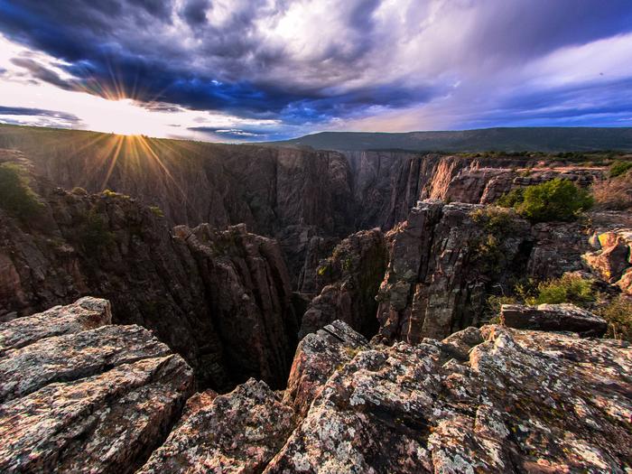
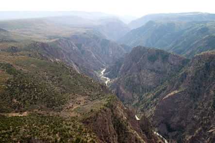
Big enough to be overwhelming, still intimate enough to feel the pulse of time, Black Canyon of the Gunnison exposes you to some of the steepest cliffs, oldest rock, and craggiest spires in North America. With two million years to work, the Gunnison River, along with the forces of weathering, has sculpted this vertical wilderness of rock, water, and sky.

More from CampingHiking.net:

Trinity, California Camping & Hiking

Directions Near Weaverville, CA. River access can be found along Hwy 299, Steel Bridge Road, and Steiner Flat Road. Phone 530-224-2100 Activities BOATING, CAMPING, FISHING Camping Reservations Reserve your campsite

Guacamole Trail, Utah Camping & Hiking

Directions Take I-15 Exit 16 to Hurricane City (SR 9); take the exit ramp south toward Hurricane. Follow SR 9 east for approximately 19.6 miles, just past the town of

WestWorld, Arizona Camping & Hiking

Directions Area is north of Frank Lloyd Wright Boulevard in Scottsdale, Arizona. Pima Frontage road is open northbound and southbound. Call 480.312.6802 or see Directions here. Phone 480-312-6802 Activities HIKING,