


Directions
Buffalo National River is a long, narrow park that is crossed by three main highways. Highways 7, 43, and 62/65 are the main roads out of Harrison, Arkansas that will take you to the Buffalo River, depending on which part of the park you wish to visit. GPS systems are not reliable in this area so please call ahead for directions or pick up a map of the area beforehand.
Phone
(870) 439-2502
Activities
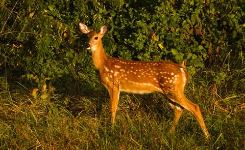
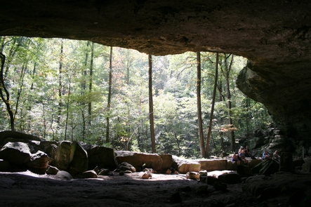
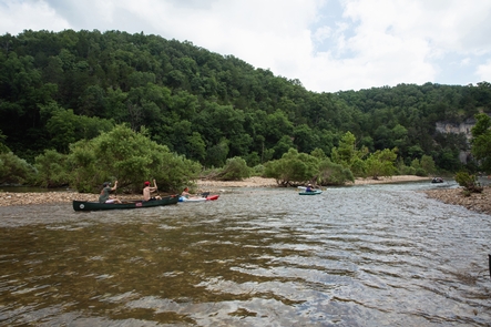
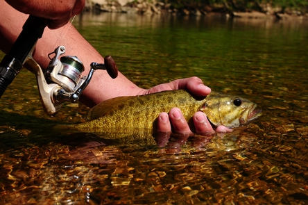
CAMPING, FISHING, HIKING, WILDLIFE VIEWING, PADDLING
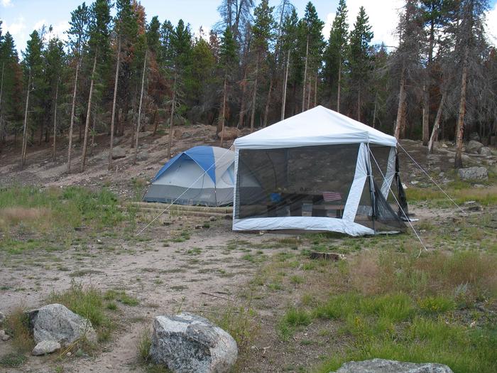
Camping Reservations
Reserve your campsite at these camping areas:
Hiking Trails
Looking for nice hiking areas to take a hike? Choose from these scenic hiking trails:
Related Link(s)
More Arkansas Recreation Areas
Buffalo National River Official Website
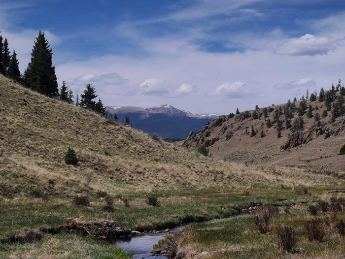
Established in 1972, Buffalo National River flows freely for 135 miles and is one of the few remaining undammed rivers in the lower 48 states. Once you arrive, prepare to journey from running rapids to quiet pools while surrounded by massive bluffs as you cruise through the Ozark Mountains down to the White River.