
Directions
From Springfield, MO take Highway 65 South through Branson to Harrison. Stay on Highway 65 through Harrison, turn left on Highway 62 and travel to Yellville. At Yellville turn right on Highway 14 East. Travel 17 miles to Highway 268 East. Turn left on 268 to Buffalo Point.
From Little Rock, take Highway 65 North to Marshall, at Marshall turn right on Highway 27 North about 11 miles to Harriet. Turn left on Highway 14 West and travel about 14 miles to Highway 268 East. Turn right on Highway 268 to Buffalo Point.
Phone
870-449-4311
Activities
BIKING, BOATING, HISTORIC & CULTURAL SITE, CAMPING, INTERPRETIVE PROGRAMS, FISHING, HIKING, HUNTING, VISITOR CENTER, WATER SPORTS, WILDLIFE VIEWING, DAY USE AREA, SWIMMING SITE
Keywords
BUPT,BUFFALO NATIONAL RIVER,BUFFALO POINT STATE PARK,BLUFFALO PARK
Related Link(s)
Arkansas State Road Conditions
Overview
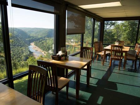
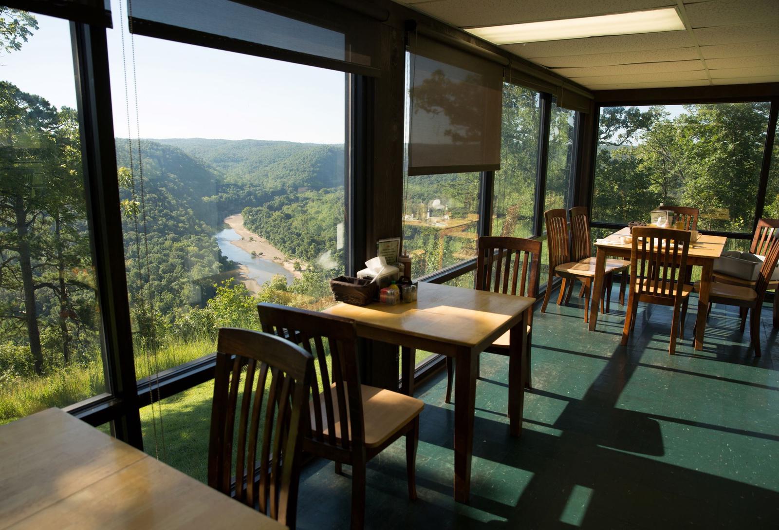
Buffalo Point is a convenient, fun-filled destination for families and adventurists of all types. It’s perched along the Buffalo National River, providing exciting river sports and hiking opportunities. In peak season, a restaurant is open at the facility, serving up meals for those who want a break from preparing them.
Recreation
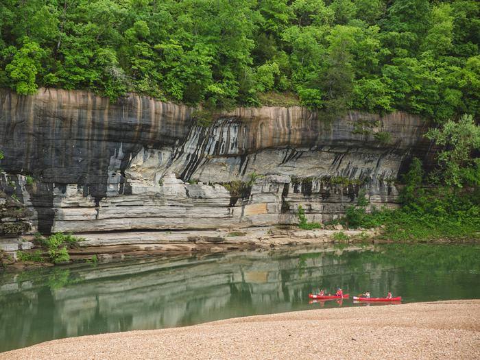
The wild river is a gathering place for a plethora of water activities. Many campers spend their days fishing, hiking, canoeing, or kayaking. Evenings are ideal for gathering next to the fire to revamp for another great day out on the river.
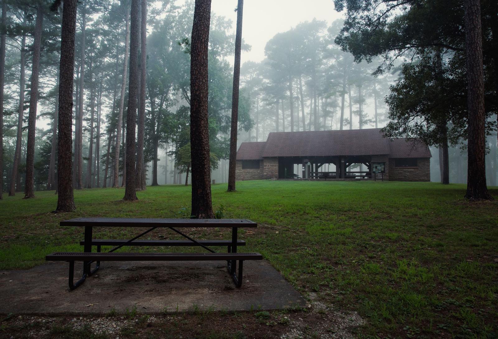
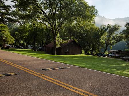
Facilities
Buffalo Point offers campsites with water, electricity and a pay phone. It’s the only area in the park with a restaurant, open daily from Memorial Day to Labor Day and on weekends only from mid-April to Memorial Day Weekend and Labor Day Weekend to mid-October.
Natural Features
The campground is set along Buffalo National River, one of the few free-flowing rivers remaining in the contiguous United States. The river runs 135 miles without dams and cuts through the Arkansas Ozarks and into the White River. The region is surrounded by droves of lush hardwood trees and grassy open meadows.
Nearby Attractions
Two popular attractions within the Buffalo Point Area are the Indian Rockhouse Trail and the Rush Historic District. Rush was a zinc mining community until the zinc market collapsed and the settlement was deserted. Tours about the town’s history are available. Buffalo Point is the former Buffalo River State Park developed in the 1930’s as project of the Civilian Conservation Corps.
Blanchard Springs Cavern, an extraordinary living cave, is a one-hour drive from Buffalo Point.