Directions
Lava Beds is a truly remote park, in a corner of California most people never visit. Most roads into this area wind through mountains, and along rivers, and travel may take longer than expected. Services are few and far between and winter driving conditions can be encountered anytime between fall and spring.
Phone
(530) 667-8113
Activities
AUTO TOURING, BIKING, CAMPING, HIKING, PICNICKING, WILDLIFE VIEWING
Camping Reservations
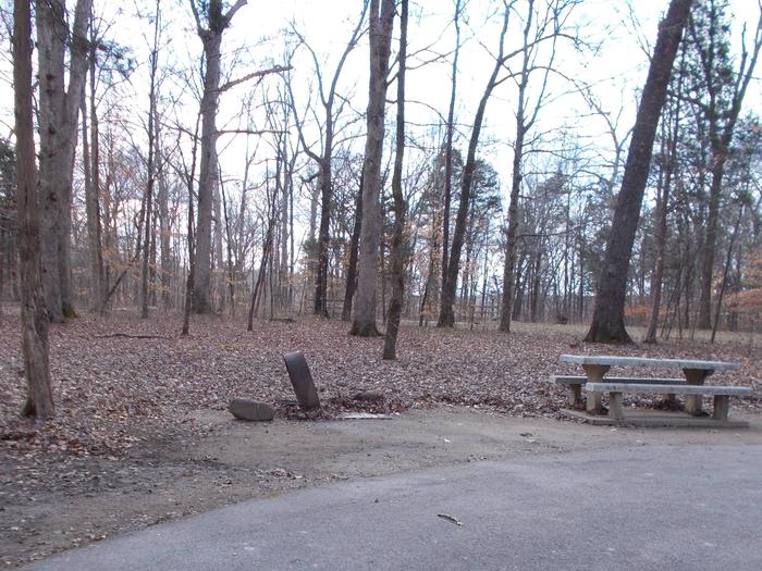
Reserve your campsite at these camping areas:
Hiking Trails
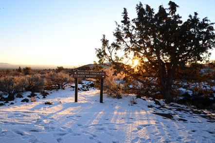
Looking for nice hiking areas to take a hike? Choose from these scenic hiking trails:
Related Link(s)
More California Recreation Areas
Lava Beds National Monument Official Website
Lava Beds National Monument Map
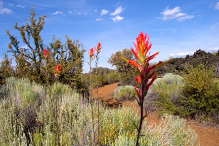
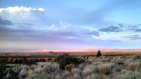
Lava Beds National Monument is a land of turmoil, both geological and historical. Over the last half-million years, volcanic eruptions on the Medicine Lake shield volcano have created a rugged landscape dotted with diverse volcanic features. More than 800 caves, Native American rock art sites, historic battlefields and campsites, and a high desert wilderness experience await you!

