Directions
From Spokane Take I-90 West At Exit 277, merge onto US-2 toward Davenport/Fairchild AFB/Spokane Airport Just past Wilbur, turn right onto WA-21 Stay left onto Highway 174 Turn right onto WA-155 Stay on WA-155 past Grand Coulee Dam and into the town of Coulee Dam Cross the Columbia River and continue on WA-155 Turn right onto Crest Drive and follow up the hill. The Headquarters Office is located on the left
Phone
(509) 754-7800
Activities
BOATING, CAMPING, FISHING, HIKING, SWIMMING
Camping Reservations
Reserve your campsite at these camping areas:
KETTLE FALLS LOCUST GROVE GROUP SITE
Hiking Trails
Looking for nice hiking areas to take a hike? Choose from these scenic hiking trails:
Related Link(s)
More Washington Recreation Areas
Lake Roosevelt National Recreation Area Official Website
Lake Roosevelt National Recreation Area Map
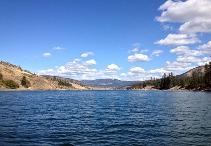
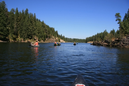
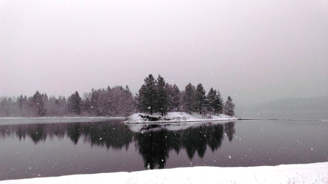
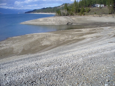
In 1941 the Grand Coulee Dam was built on the Columbia River as part of the Columbia River Basin project, creating a 130-mile long lake. Named for President Franklin D. Roosevelt, Lake Roosevelt National Recreation Area provides opportunities for boating, fishing, swimming, camping, canoeing, hunting and visiting historic Fort Spokane and St. Paul’s Mission.


