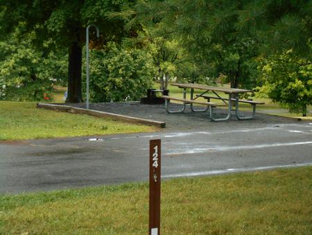
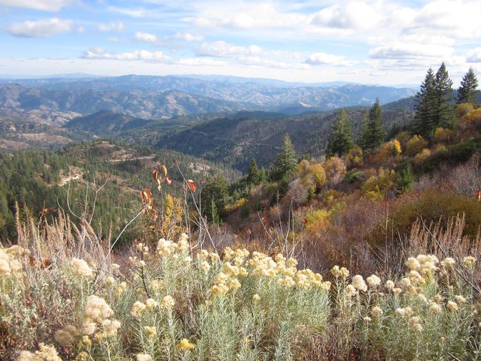
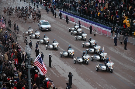
Mammoth Cave National Park, Kentucky Camping & Hiking

Mammoth Cave National Park, Kentucky Camping & Hiking

Mammoth Cave National Park Image Gallery

Directions

DO NOT FOLLOW YOUR GPS! From the North: Take Interstate 65 to Exit 53 (Cave City Exit). Turn right onto KY-70. Follow 70/255 as it becomes the Mammoth Cave Parkway in the park. Follow the Mammoth Cave Parkway to the Visitor Center. From the South: Take Interstate 65 to Exit 48 (Park City Exit). Turn left onto KY-255 and follow 255 as it becomes the Park City Road into the park. Follow Park City Road until it joins the Mammoth Cave Parkway; turn left. Follow the Mammoth Cave Parkway to the Visitor Center.

Phone

(270) 758-2180

Activities

BIKING, CAMPING, FISHING, HIKING, HORSEBACK RIDING, PADDLING, SWIMMING, HORSE CAMPING

Camping Reservations

Reserve your campsite at these camping areas:

Kentucky Campgrounds

MAMMOTH PICNIC SHELTERS

MAMMOTH CAVE CAMPGROUND

MAPLE SPRINGS

Hiking Trails

Looking for nice hiking areas to take a hike? Choose from these scenic hiking trails:

Kentucky Hiking Trails

Related Link(s)

More Kentucky Recreation Areas

Mammoth Cave National Park Official Website

Mammoth Cave National Park Map

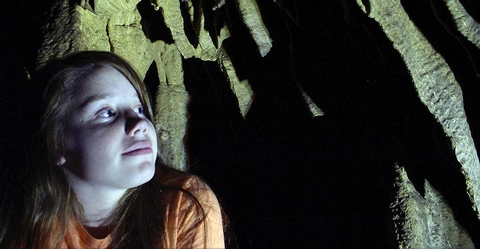
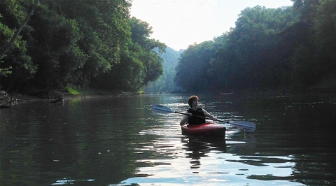
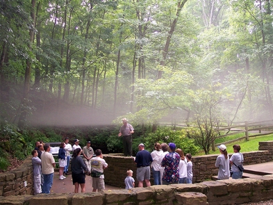
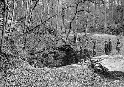
Mammoth Cave National Park preserves not only the longest known cave system on earth (400+ miles), but also 53,000 acres of beautiful forest. With nearly a dozen miles of cave trail below ground, there are also nearly 70 miles of surface trail, 13 backcountry campsites, three campgrounds, and over 20 miles of navigable river for visitors to explore and enjoy. It really is two worlds in one.

More from CampingHiking.net:

East Lynn Lake, West Virginia Camping & Hiking

Directions From Wayne, 12 miles Southeast on State Route 37. Phone (304) 849-2355 Activities BOATING, CAMPING, FISHING, HIKING, PICNICKING, WATER SPORTS, WILDLIFE VIEWING, PLAYGROUND PARK SPECIALIZED SPORT SITE, OTHER RECREATION

Lake Oahe, South Dakota Camping & Hiking

Directions From Pierre, 8 miles north on SD 1804. Phone (605) 224-5862 Activities AUTO TOURING, BIKING, BOATING, HISTORIC & CULTURAL SITE, CAMPING, FISHING, HIKING, OFF HIGHWAY VEHICLE, PICNICKING, WATER SPORTS,

Lake Casitas, California Camping & Hiking

Directions Site is 13 miles northwest of Ventura, California on State Highway 33. Phone 805-649-2233 Activities BIKING, BOATING, CAMPING, INTERPRETIVE PROGRAMS, FISHING, HIKING, PICNICKING, RECREATIONAL VEHICLES, WATER SPORTS, OTHER RECREATION

Charles River, Massachusetts Camping & Hiking

Directions Public use areas can be reached off of I-90, I-95 and I-495. Phone (508) 278-2511 Activities WILDLIFE VIEWING Camping Reservations Reserve your campsite at these camping areas: Massachusetts Campgrounds