Directions
Montezuma Castle: Follow I-17 to exit 289 (90 minutes north of Phoenix, 45 minutes south of Flagstaff). Drive east (through two traffic circles) for approximately 1/2 mile to the blinking red light. Turn left onto Montezuma Castle Road. Montezuma Well: Follow I-17 to exit 293 (north of the exit for Montezuma Castle). Continue through the towns of McGuireville and Rimrock, following the signs for 4 miles to the entrance to the Well.
Phone
(928) 567-3322
Activities
PICNICKING, WILDLIFE VIEWING
Camping Reservations
Reserve your campsite at these camping areas:
Hiking Trails
Looking for nice hiking areas to take a hike? Choose from these scenic hiking trails:
Related Link(s)
Montezuma Castle National Monument Official Website
Montezuma Castle National Monument Map
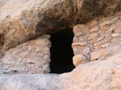
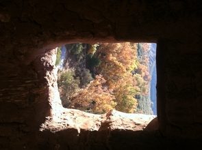
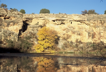
Today we gaze through the windows of the past into one of the best preserved cliff dwellings in North America. This 20 room high-rise apartment, nestled into a towering limestone cliff, tells a story of ingenuity, survival and ultimately, prosperity in an unforgiving desert landscape. Come marvel at this enduring legacy of the Sinagua culture and reveal a people surprisingly similar to ourselves.

