Directions
From the North (U.S. 15) or West (Hagerstown): Use I-70 east and take Exit 54. Bear right then take a left onto Rt. 355. The visitor center will be on the left. From the East (Baltimore): Use I-70 west and take Exit 54. Bear left then take a left onto Rt. 355. The visitor center will be on the left. From the South (Washington): Use I-270 north to I-70 east and take Exit 54. Bear right then take a left onto Rt. 355. The visitor center will be on the the left.
Phone
(301) 662-3515
Activities
HISTORIC & CULTURAL SITE, HIKING
Camping Reservations
Reserve your campsite at these camping areas:
Hiking Trails
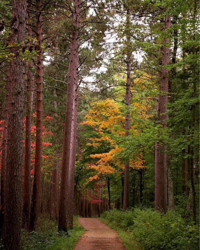
Looking for nice hiking areas to take a hike? Choose from these scenic hiking trails:
Related Link(s)
More Maryland Recreation Areas
Monocacy National Battlefield Official Website
Monocacy National Battlefield Map
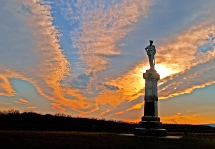
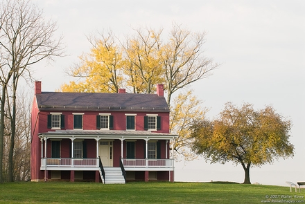
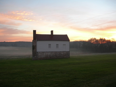
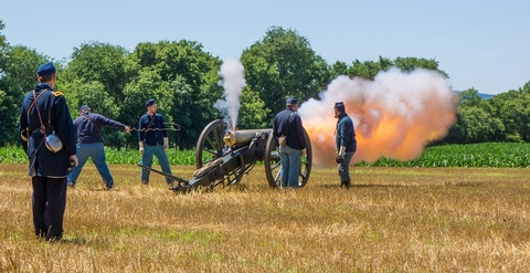
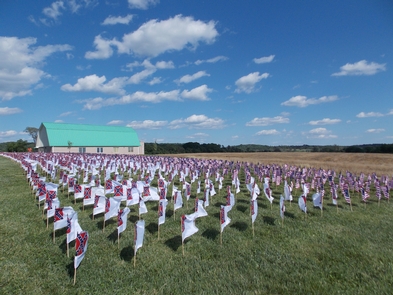
During the summer of 1864, the Confederacy carried out a bold plan to turn the tide of the Civil War in their favor. They planned to capture Washington, DC and influence the election of 1864. On July 9, however, Federal soldiers outnumbered three to one, fought gallantly along the banks of the Monocacy River in an effort to buy time for Union reinforcement to arrive in Washington, DC.

