
Directions
Most visitors start their trip in the city of Valentine, Nebraska. Valentine is 76 miles south of I-90 (Murdo, SD Exit) on Hwy 83; or 130 miles north of I-80 (North Platte, NE Exit) on Hwy 83. The nearest major airports are in Rapid City, SD (220 miles); Denver, CO (391 miles); and Omaha, NE (300 miles).
Phone
(402) 376-1901
Activities
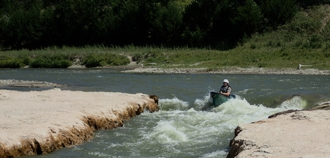
FISHING, HUNTING, PADDLING
Camping Reservations
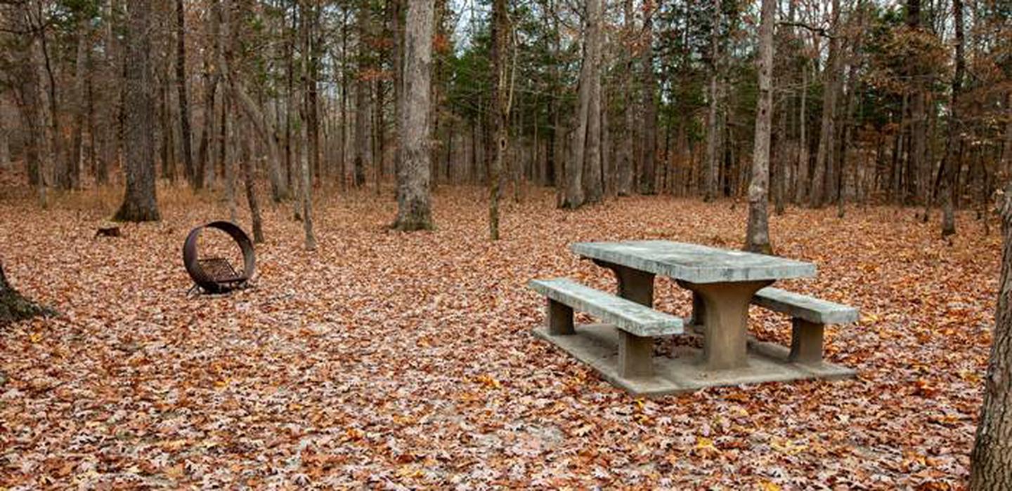
Reserve your campsite at these camping areas:
Hiking Trails
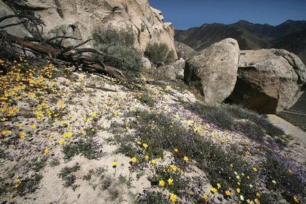
Looking for nice hiking areas to take a hike? Choose from these scenic hiking trails:
Related Link(s)
More Nebraska Recreation Areas
Niobrara National Scenic River Official Website
Niobrara National Scenic River Map
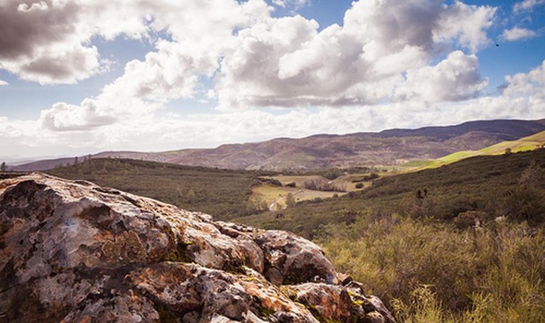
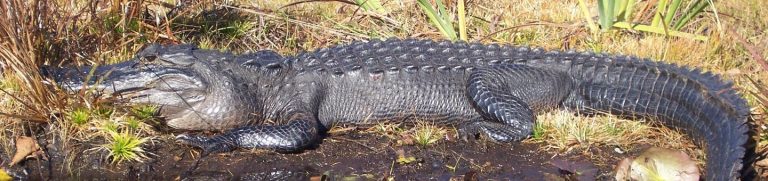
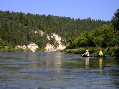
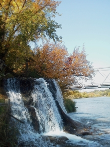
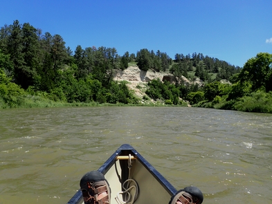
The 76 miles of the Niobrara National Scenic River winds through dramatic bluffs, incredible wildlife diversity, gorgeous waterfalls, world-class fossil resources, and plenty of floating fun for the whole family. Less than 1/4 of one percent of US rivers are designated under the National Wild & Scenic Rivers System. Come discover why this prairie river has earned this honor.