Directions
Pictured Rocks NL is located on the south shore of Lake Superior in Michigan’s Upper Peninsula, between the towns of Munising (west) and Grand Marais (east). Access the west side of the park via Michigan highways M-28 and M-94 to Munising. State highway M-77 leads to Grand Marais on the east side. Alger County Road H-58 runs parallel and through the park, providing access to spur roads that lead to scenic overlooks, trailheads, campgrounds, beaches, etc. Many roads are closed in winter due to snow.
Phone
(906) 387-3700
Activities
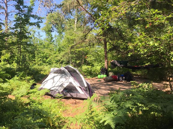
AUTO TOURING, BIKING, BOATING, CLIMBING, CAMPING, FISHING, HIKING, HUNTING, PADDLING, SWIMMING, DIVING
Camping Reservations
Reserve your campsite at these camping areas:
Pictured Rocks National Lakeshore Backcountry Camping Permit
Hiking Trails
Looking for nice hiking areas to take a hike? Choose from these scenic hiking trails:
Related Link(s)
More Michigan Recreation Areas
Pictured Rocks National Lakeshore Official Website
Pictured Rocks National Lakeshore Map
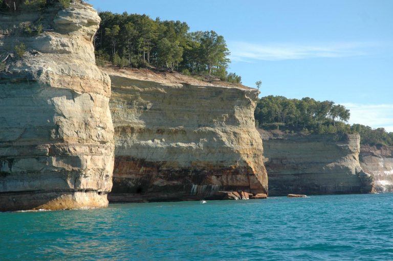
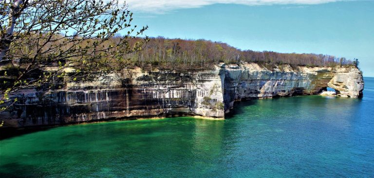
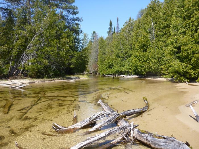
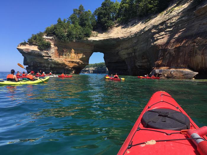
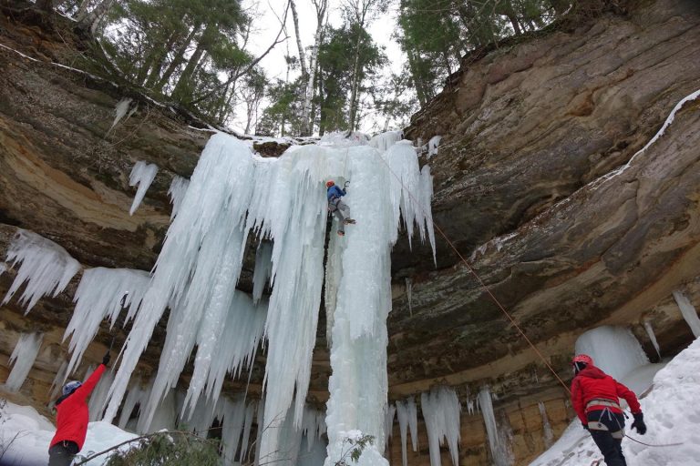
Sandstone cliffs, beaches, sand dunes, waterfalls, inland lakes, deep forest, and wild shoreline beckon you to visit Pictured Rocks National Lakeshore. The power of Lake Superior shapes the park’s coastal features and affects every ecosystem, creating a unique landscape to explore. Hiking, camping, sightseeing, and four-season outdoor opportunities abound.

