Directions
Central California coast, from the City of Marin in the north, to San Simeon in the south.
Phone
(831) 647-4201
Activities
AUTO TOURING, BIKING, BOATING, CAMPING, INTERPRETIVE PROGRAMS, FISHING, HIKING, HORSEBACK RIDING, PICNICKING, VISITOR CENTER, WATER SPORTS, WILDLIFE VIEWING, PHOTOGRAPHY, PADDLING, SWIMMING, DIVING, SNORKELING
Camping Reservations
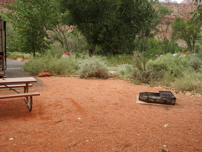
Reserve your campsite at these camping areas:
Hiking Trails
Looking for nice hiking areas to take a hike? Choose from these scenic hiking trails:
Related Link(s)
More California Recreation Areas
Monterey Bay National Marine Sanctuary
Monterey Bay National Marine Sanctuary Map
Monterey Bay National Marine Sanctuary Twitter page
Monterey Bay National Marine Sanctuary Facebook page
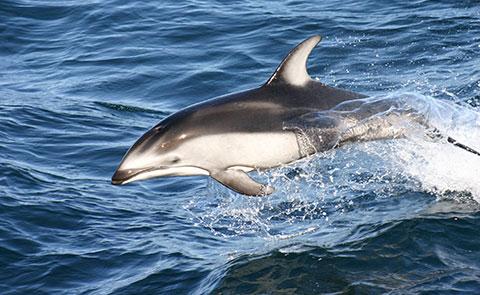
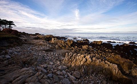
The waters of Monterey Bay and the adjacent Pacific Ocean off the central California coast were designated and protected in 1992 as the Monterey Bay National Marine Sanctuary. This vast area stretches almost 300 miles (260 nautical miles) north to south, extends an average of 35 miles (30 nautical miles) offshore, and covers over 6,090 square miles (4,603 square nautical miles). The sanctuary is managed to balance recreational and commercial uses with protection of natural resources, water quality, habitats, and its bountiful resident and migratory marine life. Visitors will find in the southern half a mostly undeveloped shoreline of rocky shores and steep mountainsides. The northern shoreline is similar but is dotted with settlements of small towns and moderate-size cities. Surfing, diving, snorkeling, tidepooling, and camping can be enjoyed by visitors to Monterey Bay National Marine Sanctuary. Hiking, biking and touring by car are just a few ways visitors can view this stunning coastline.


