Directions
The Jug Bay component of the reserve is located 20 miles from Washington, D.C.; the Otter Point Creek component is 19 miles northeast of Baltimore; the Monie Bay component is located 20 miles from Salisbury, Maryland
Phone
410-260-8744
Activities
BOATING, HISTORIC & CULTURAL SITE, INTERPRETIVE PROGRAMS, FISHING, HIKING, HUNTING, VISITOR CENTER, WILDLIFE VIEWING, PHOTOGRAPHY, PADDLING, SWIMMING
Camping Reservations
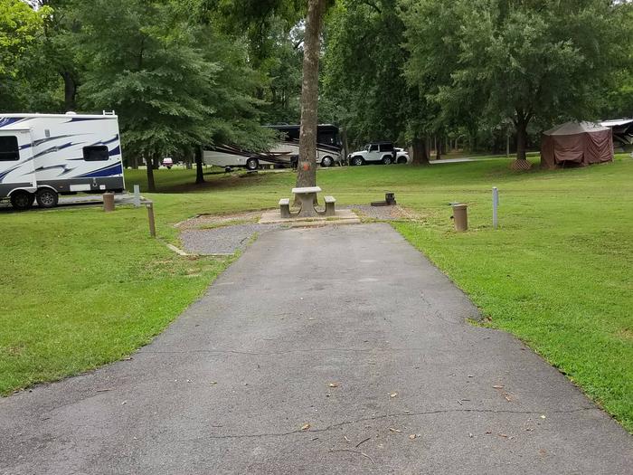
Reserve your campsite at these camping areas:
Hiking Trails
Looking for nice hiking areas to take a hike? Choose from these scenic hiking trails:
Related Link(s)
More Maryland Recreation Areas
National Estuarine Research Reserve System — Chesapeake Bay, MD
Chesapeake Bay Maryland National Estuarine Research Reserve Website
Chesapeake Bay Maryland National Estuarine Research Reserve Map
Chesapeake Bay Maryland National Estuarine Research Reserve Facebook page
The Chesapeake Bay is the largest estuary in the United States and is one of the most productive bodies of water in the world. The multi-component Chesapeake Bay Reserve in Maryland reflects the diversity of estuarine habitats found within the Maryland portion of the Bay. In the Maryland portion of the Bay’s watershed are a variety of habitats. The Maryland Reserve encompasses several of those habitats, including salt marsh at Monie Bay (3,416 acres), a tidal freshwater marsh at Otter Point Creek (736 acres) and a tidal riverine system at Jug Bay (2,087 acres). The locations of the three sites reflect the importance of tributaries to the overall health of the Bay ecosystem.

