Directions
From Sacramento, California, drive 70 miles north along I-5 to the town of Maxwell. The westbound exit will send you along a scenic 23-mile journey before reaching Lodoga and East Park Reservoir.
Phone
530-968-5267
Activities
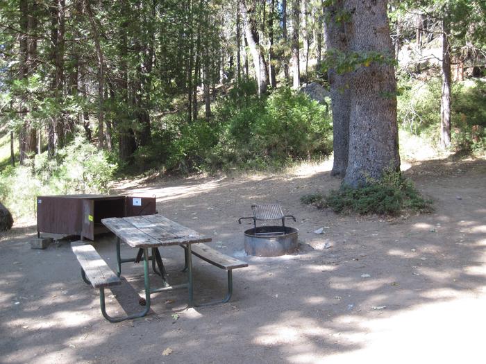
BIKING, BOATING, CAMPING, FISHING, HIKING, HORSEBACK RIDING, HUNTING, PICNICKING, RECREATIONAL VEHICLES, WATER SPORTS, WILDLIFE VIEWING
Camping Reservations
Reserve your campsite at these camping areas:
Hiking Trails
Looking for nice hiking areas to take a hike? Choose from these scenic hiking trails:
Related Link(s)
More California Recreation Areas
Local Information and Services
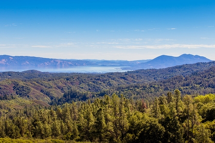
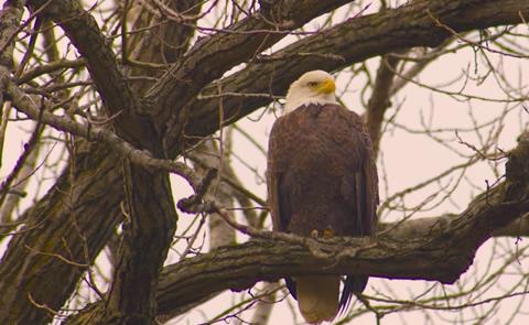
The East Park Dam and reservoir, of the Orland Project, is situated in the rolling foothills of the Mendocino National Forest on Little Stony Creek. In 2013, Reclamation entered a partnership with Colusa County for long-term management of the recreation facilities and opportunities at East Park Reservoir. The County accepts reservations and issues passes for camping, boat launches, groups, special recreation events and day use for the reservoir area through its website. http://www.countyofcolusa.org/index.aspx?NID=629 The reservoir lies along a migratory corridor between California’s Central Valley and the Coastal Range. Birders may see substantial movements of warblers and other neo-tropical migrants in late April/early May and in September. With a 25-mile shoreline, East Park Reservoir has a thriving population of warm-water fish, including largemouth bass, smallmouth bass, catfish, crappie, and bluegill. Good fishing year-round. Ideal bass fishing occurs in the autumn months. Two natural surface boat launches are identified with excellent shore accessibility. The lake is subject to seasonal closure so please call in advance to ensure availability.


