Directions
The site is located about 10 miles west of Los Banos, California on CA Highway 152.
Phone
209-826-1198
Activities
BIKING, BOATING, CAMPING, FISHING, HIKING, HUNTING, PICNICKING, RECREATIONAL VEHICLES, WATER SPORTS
Camping Reservations
Reserve your campsite at these camping areas:
Hiking Trails
Looking for nice hiking areas to take a hike? Choose from these scenic hiking trails:
Related Link(s)
More California Recreation Areas
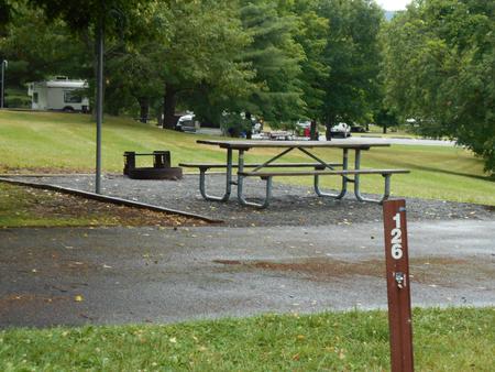
O’Neill Dam and Forebay are joint Federal-State facilities located on San Luis Creek 2.5 miles downstream from San Luis Dam. O’Neill Forebay Dam is a feature of the Central Valley Project – San Joaquin Division – San Luis Unit. The reservoir has a surface area of 2,250 acres and 14 miles of shoreline. The Park includes boating, camping, picnic facilities, fishing, hiking, and serves as a major family destination for many in the west central valley. Currently an expansion of the Maderos boat ramp facilities is underway, which will improve boat access and day use facilities.

