Directions
From Confluence, PA, go .5 miles south on PA 281.
Phone
(814) 395-3242
Activities
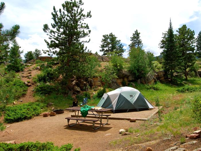
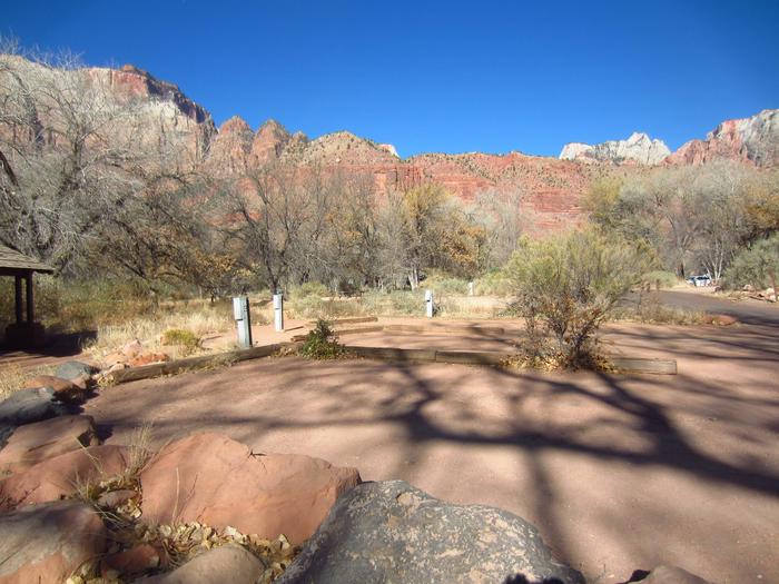
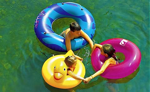
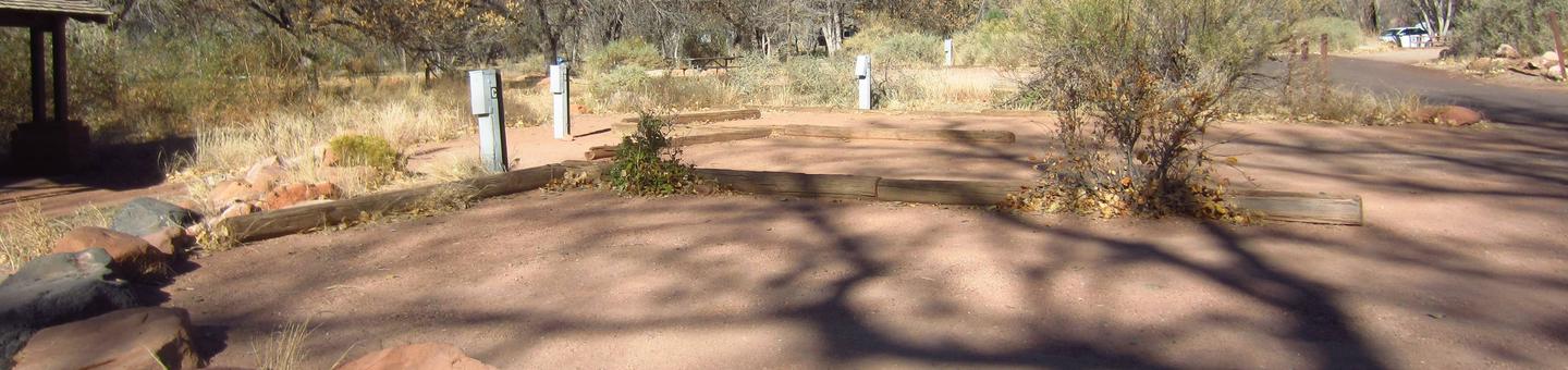
BOATING, CAMPING, FISHING, HIKING, PICNICKING, WATER SPORTS, WILDLIFE VIEWING, PLAYGROUND PARK SPECIALIZED SPORT SITE, ENVIRONMENTAL EDUCATION
Camping Reservations
Reserve your campsite at these camping areas:
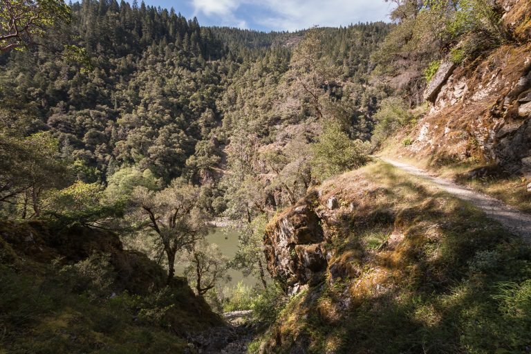
Hiking Trails
Looking for nice hiking areas to take a hike? Choose from these scenic hiking trails:
Related Link(s)
More Pennsylvania Recreation Areas
Youghiogheny River Lake Photo Album
Youghiogheny River Lake Website
Youghiogheny River Lake Trail Map
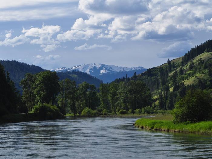
In the heart of the Laurel Highlands and spanning the Mason-Dixon line between Pennsylvania and Maryland lays Youghiogheny River Lake. Boaters consider Youghiogheny River Lake, with its 16-mile length and channels up to one-half mile wide, the best powerboat and water-skiing lake in southwestern Pennsylvania. The tail waters of the dam are one of the few in Pennsylvania open for trout fishing year round and are stocked by the Fish and Boat Commission on a regular basis throughout the spring and summer.