Directions
From Roanoke, south on US 220, west on VA 57, north on VA 904.
Phone
(276) 629-2703
Activities
BOATING, CAMPING, FISHING, HIKING, PICNICKING, WATER SPORTS, WILDLIFE VIEWING, PLAYGROUND PARK SPECIALIZED SPORT SITE, OTHER RECREATION CONCESSION SITE, ENVIRONMENTAL EDUCATION
Camping Reservations
Reserve your campsite at these camping areas:
Hiking Trails
Looking for nice hiking areas to take a hike? Choose from these scenic hiking trails:
Related Link(s)
More Virginia Recreation Areas
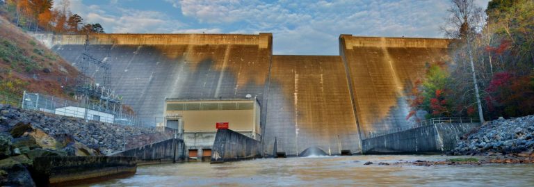
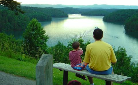
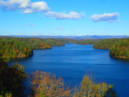
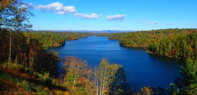
Nestled in the rugged foothills within sight of the Blue Ridge Mountains of Virginia are the lake and surrounding public lands of Philpott Lake. The clear water and natural shoreline make Philpott Lake a unique place to visit. Over 6,000 acres of surrounding land, 3,000 acres of water, and a power plant make up Philpott Project located in portions of Franklin, Henry and Patrick counties. Congress authorized construction in 1944 for flood control and hydroelectric power generation as the primary purposes, and water supply and recreation as subsequent purposes. Virtual Tour of Lake

