Directions
Wilbur D. Mills Dam is about 13 miles north of Dumas. Lock No. 2 is about 47 miles south of Stuttgart.
Phone
(870) 548-2291
Activities
BOATING, HISTORIC & CULTURAL SITE, CAMPING, PICNICKING, WATER SPORTS, WILDLIFE VIEWING, PLAYGROUND PARK SPECIALIZED SPORT SITE
Camping Reservations
Reserve your campsite at these camping areas:
Hiking Trails
Looking for nice hiking areas to take a hike? Choose from these scenic hiking trails:
Related Link(s)
More Arkansas Recreation Areas
Arkansas River – Wilbur D. Mills Pool Website
Ozark Interpretive Association
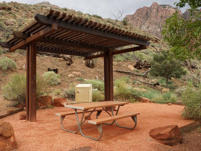
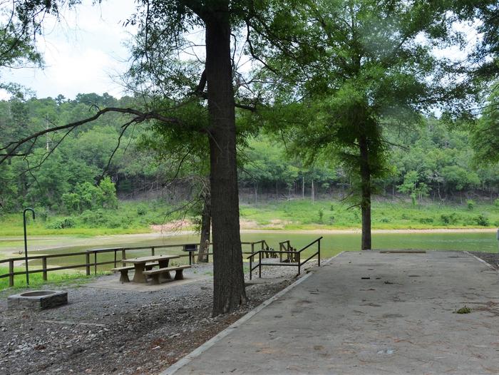
Lock no. 2 is located on the man-made Arkansas Post Canal that connects the Arkansas River with the White River. Wilber D. Mills Dam is located on the main stem of the Arkansas River. Overnight camping is available in Merrisach Lake Park near Lock No. 2, Wilbur D. Mills Park downstream from the dam, and Pendleton Bend Park upstream from the dam. World-class bass and crappie fishing is found in Pool 2. The tailwaters of the dam and Joe Hardin Dam upstream provide excellent opportunities to catch catfish. In the Arkansas area visitors can experience history at the national memorial at Arkansas Post. Here, in 1686, Henri de Tonti established the first village west of the Mississippi River. In 1819 Arkansas Post became the capital of the Arkansas Territory until the Civil War. Parks offer modern amenities such as boat launching ramps, drinking water, camping areas, picnic sites and other facilities for the convenience of all.

