Directions
From the city of Merced, located on U.S. Highway 99, travel 40 miles east on State Highway 140 to the town of Mariposa. Then travel another 15 miles along Highway 140 to the Briceburg Visitor Center at the Merced Wild & Scenic River.
There are three developed BLM campgrounds along the Merced River between Briceburg and Bagby. The campgrounds are accessed by crossing the suspension bridge just past the Briceburg Visitor Center and heading down river along the unpaved Briceburg River Road (old Yosemite Valley Railroad Grade). Trailers over 18 feet and large RV’s are not recommended crossing the suspension bridge.
Phone
Briceburg Visitor Center (209) 379-9414
Mother Lode Field Office (916) 941-3101
Activities
AUTO TOURING, BIKING, CAMPING, FISHING, HIKING, PICNICKING, VISITOR CENTER, WILDLIFE VIEWING, DAY USE AREA, INFORMATION SITE, PHOTOGRAPHY, PADDLING
Camping Reservations
Reserve your campsite at these camping areas:
Hiking Trails
Looking for nice hiking areas to take a hike? Choose from these scenic hiking trails:
Related Link(s)
More California Recreation Areas
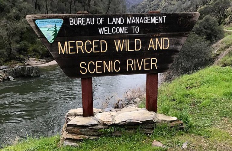
Merced Wild and Scenic River – National Conservation Lands Special Designation
The BLM Merced River Recreation Management Area and Campgrounds are OPEN. There are no seasonal road closures at this time (posted Nov. 12, 2019).
The Merced River Recreation Management Area (RMA) is a very special place just downstream from Yosemite. It is well known for excellent whitewater boating, wildflower viewing, camping, swimming, and recreational gold panning/prospecting.
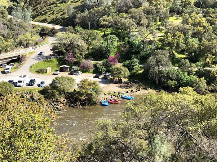
Visitors will have plenty to do in the Merced River RMA during every season. Springtime comes early to the Merced River Canyon and by March the wildflower season is well on its way lasting into May. Easy access, un-damned flows, and excellent whitewater boating attract rafters and kayakers during the spring runoff (April through July). Commercial rafting trips are available from BLM permitted outfitters.
The Merced River is a very popular swimming destination during the hot California foothill summers with some of the clearest swimming hole around. Gold panning and prospecting have never fallen out of favor since the 1850™s when this canyon had a large mining population. In autumn the crowds subside and the Merced River Recreation Area provides more solitude while still offering most of the appeal and activities as earlier in the year. By winter, true solitude can be found. The weather is usually quite warm and sunny between storms. Daytime highs in the 60™s and overnight lows in the 30™s are common.
While some activities are best in specific seasons, there are many things to do all year long. Bird watching is good throughout the area most of the year. Fishing is popular for trout and bass along the entire river. Biking along the gravel roads and trails is popular with families and experienced mountain bikers alike. Hiking is great anytime of the year.
The Merced River Trail continues on downstream from the end of the Briceburg River Road and brings hikers or bikers to the North Fork of the Merced and beyond. The Burma Grade is another popular route to explore on foot, bike, or high-clearance automobile. This scenic backroad climbs steeply out of the Merced Canyon and eventually leads to Greely Hill or Buck Meadows (Highway 120).
CAMPGROUNDS, TRAILHEADS, AND DAY-USE AREAS:
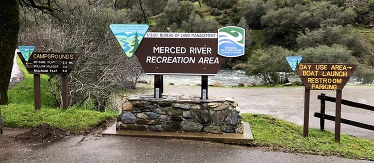
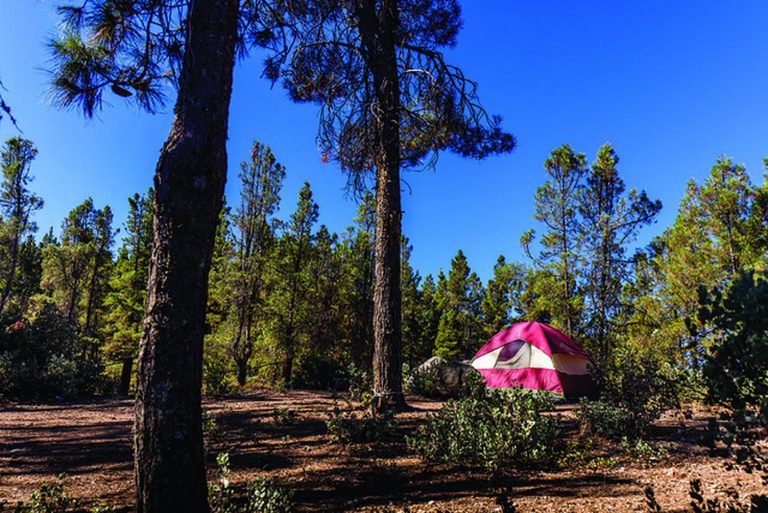
There are three (3) developed BLM campgrounds along the Merced River between Briceburg and Bagby. The campgrounds are accessed by crossing the suspension bridge just past the Briceburg Visitor Center and heading down river along the unpaved Briceburg River Road (old Yosemite Valley Railroad Grade).
Please Note: Trailers over 18 feet and large RV’s are not recommended crossing the suspension bridge.
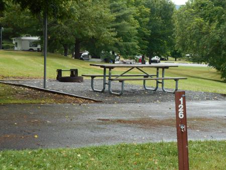
- McCabe Flat Campground – 2.3 miles downstream from Briceburg
- Willow Placer Campground – 3.6 miles downstream from Briceburg
- Railroad Flat Campground – 4.5 miles downstream from Briceburg
- North Fork Primitive Camp – 2.5 miles downstream from Railroad Flat Campground
- Cable Rock Day Use Site – 1.4 miles downstream from Briceburg
- Briceburg Day Use/Put-in – Hwy 140 at Merced River, 12 miles east of Mariposa
Need a Map?
Merced River Recreation Area Map
Merced Campground Site Map
Be sure to get your California Campfire Permit.
The Briceburg Visitor Center is CLOSED for the 2019 season and will re-open May 2020.
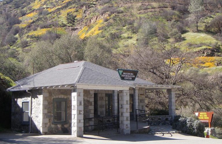
Briceburg Visitor Center
HOURS: Friday: 1 pm – 5 pm, Saturday and Sunday: 9 am – 5 pm
PHONE: Briceburg Visitor Center (209) 379-9414
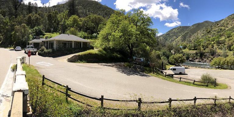
LOCATION: Where the highway meets the river … Hwy 140 at the Merced Wild & Scenic River. Twelve (12) miles east on Highway 140 from the Mariposa Visitor Bureau stop sign.
Helpful Links:
Be Bear Aware (USFS webpage)
Keep Me Wild: Mountain Lion (CDFW webpage)
Dreamflows Home Page (River flow info courtesy of Chris Shackleton, Sacramento, CA)
Recreation Passes: America the Beautiful “ National Parks and Federal Recreational Lands Pass
Return To: BLM, Mother Lode Field Office

