Directions
The San Joaquin River Gorge Recreation Area is located approximately five (5) miles northwest of the town of Auberry. The visitor center is located at 40060 Smalley Road, Auberry, California. Google Maps accurately locates the visitor center at it’s actual location. From Fresno, take CA-168 north. One mile after the town of Prather, turn left onto Auberry Road. Follow Auberry Road 2.9 miles through the town of Auberry and turn left at the Y onto Powerhouse Road. After 1.8 miles, turn left onto Smalley Road and follow it into the recreation area.
Phone
661-391-6000
Activities
BIKING, HISTORIC & CULTURAL SITE, CAMPING, INTERPRETIVE PROGRAMS, FISHING, HIKING, HORSEBACK RIDING, HUNTING, PICNICKING, WILDLIFE VIEWING, ENVIRONMENTAL EDUCATION, PHOTOGRAPHY
Camping Reservations
Reserve your campsite at these camping areas:
Hiking Trails
Looking for nice hiking areas to take a hike? Choose from these scenic hiking trails:
Related Link(s)
More California Recreation Areas
San Joaquin River Gorge Recreation Area
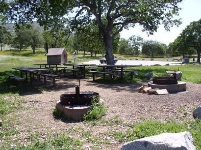
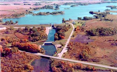
The scenic San Joaquin River Gorge Recreation Area straddles the San Joaquin River just upstream from Millerton Lake Recreation Area and includes lands in Fresno and Madera Counties. The area includes an outstanding non-motorized trail system, river access, an individual, group, and equestrian campground, and a Visitor Center with extensive opportunities for educational experiences for visitors, schools and other groups.
The Dumna and Kechayi Native Americans once occupied the area and surrounding lands. It is from their language that we derive the names of the trails contained within the Management Area. The Pa’san (pine nut) Ridge Trail is a six-mile loop trail. This trail takes one into the chaparral clothed uplands where they will encounter mountain lilac (ceanothus), manzanita, mountain mahogany, and many other shrubs and wildflowers.The Wuh-ki’o (Dumna/Kechayi word for San Joaquin River) Trail starts from off the west side of the loop on the Pa’san Ridge Trail. About four miles long, it connects with Millerton Lake Recreation Area on the Madera County side of the reservoir. The trail follows along the river and leads the traveler through oak woodlands with their mixture of foothill pines, shrubs and numerous wildflowers.
On the Fresno County side of the recreation area is a portion of the San Joaquin River Trail. Access to the trail is across the road from the recreation area’s Trail Head Campground. When complete the San Joaquin River Trail will connect Highway 99 to the Pacific Crest Trail near the Devils Postpile National Monument. Portions of the trail cover prehistoric trade routes of the Mono Indians.
Target shooting is prohibited within the Management Area. Hunting of game species only is allowed in accordance with the regulations of the California Department of Fish & Wildlife.

