

Directions
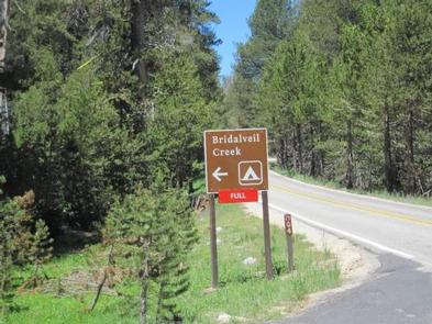
Take Highway 41 north from Fresno, Highway 140 east from Merced, or Highway 120 east from Manteca into Yosemite National Park. Follow signs to Glacier Point Road (located off Highway 41). The campground is located 9 miles up the Glacier Point Road, and 26 miles from Yosemite Valley.
Phone
(209)375-9535
Activities
CAMPING
Keywords
Yosemite National Park
Related Link(s)
National Park Services Concessionaire
California State Road Conditions
Overview
Bridalveil Creek Campground is located in breathtaking Yosemite National Park in Central California’s rugged Sierra Nevada Mountain Range. The site is situated on Glacier Point Road at an elevation of 7,200 feet, 26 miles from Yosemite Valley. Within Yosemite, visitors can gaze upon waterfalls, sheer granite cliffs, deep valleys, grand meadows, ancient giant sequoias, vast wilderness areas and so much more. Yosemite National Park’s reservable campsites are available up to five months in advance on the 15th of each month at 7:00 a.m. (PT) or 10:00 a.m. (ET). For example, on January 15, the time period May 15 to June 14 becomes available to reserve, and therefore, the full booking window would be from January 16 to June 14. Yosemite National Park Campground Reservation Dates
Recreation
Yosemite’s trails, cliffs, roads and rivers provide endless recreational activities for any kind of visitor. Hiking, biking, rock climbing, fishing, horseback riding, rafting, auto touring and photography are all very popular activities within the park.
Hiking trails near Bridalveil Creek Campground are plentiful, ranging in length from a half-mile to nearly 13 miles. Popular hikes include the 4-Mile Trail, Panorama Trail, Taft Point, Sentinel Dome and Ostrander Lake.
Facilities
Bridalveil Creek Campground offers group and horse campsites that are available by advanced reservations. Family sites are available on a first come, first served basis and do fill nightly.
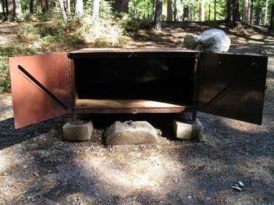
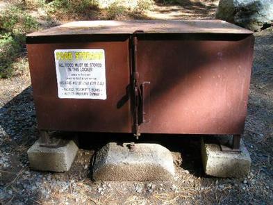
Paved roads and parking spurs, flush toilets and drinking water are provided. Each campsite contains a picnic table, fire ring and a food storage locker.
Natural Features
The area is forested with pure stands of Red fir and Lodgepole pine, offering a pleasant combination of sun and shade. Vanilla-scented Jeffrey pine and picturesque western Juniper dot the landscape. Through the trees, Yosemite’s craggy granite peaks are visible, and the gentle, refreshing Bridalveil Creek flows near the site.
Nearby Attractions
A scenic, 7-mile drive leads to Glacier Point, with sweeping views of Yosemite Valley, Little Yosemite Valley, Half Dome, Vernal and Nevada Falls and Clouds Rest, among other notable landmarks.
Just 45 minutes away is Yosemite Valley, an awe-inspiring landscape containing many of the famous features for which Yosemite National Park is known. Hiking trails and bike paths are abundant in the valley. Rafting the Merced River is a fun way to cool down on a summer day when water levels are sufficient. Yosemite Valley also offers numerous guided bus tours, educational programs, museums, ranger-led activities, and an art center with workshops.
The Tioga Road offers a 39-mile scenic drive past forests, meadows, lakes and granite domes. Tuolumne Meadows embodies the high-country of the Sierra Nevada, with its broad sub-alpine meadows and granite domes and peaks. Beautiful Hetch Hetchy Reservoir is home to spectacular scenery and numerous wilderness trailheads.
Charges & Cancellations
Cancellation of an equestrian site reservation will be charged a $10 service fee. If the cancellation is within 48 hours of the arrival date, the first night’s fee will also be charged. Cancellation of a group site reservation will incur a $10.00 service fee plus the first nights use fee when the reservation is cancelled within 14 days of the scheduled arrival date. Cancellations for a single nights use will not be assessed a service fee. No-shows for any type of reservation will be charged a $20 service fee and the first night’s fee.