
Directions
Located on State Route 123, four miles north of State Route 12.
Phone
360-569-2211 x6627
Activities
CAMPING, HIKING, PICNICKING, DAY USE AREA
Keywords
CG45,Ohana,Mount Rainier National Park
Related Link(s)
Washington State Road Conditions
Overview
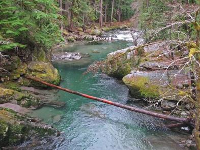
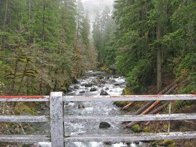
Ohanapecosh Campground, on the southeast side of Mount Rainier National Park, is surrounded by old growth forest and crossed by an exceptionally beautiful snow-fed river. Close to Ohanapecosh are popular hikes to Silver Falls and the Grove of the Patriarchs.
The main attraction at Mount Rainier National Park is the mountain itself, a glacier-clad volcano of immense proportions. At 14,411 ft., it dominates the skyline for hundreds of miles. Visitors travel through majestic old-growth forests, past tumbling waterfalls and historic buildings to reach sub-alpine meadows, where world-famous wildflower displays are seen in July and August. Popular activities in the park include sight-seeing, hiking, climbing and camping.
Ohanapecosh campground has an elevation of 1,914 feet. Weather is dry, cool and sunny in the summer with daytime temperatures in the 60 to 80-degree range. Even though the eastern side of the park can be sunnier than other areas, weather can be variable and visitors should come prepared.
Recreation
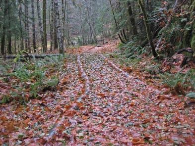
The most popular campground in the park, Ohanapecosh is convenient to both the Paradise and Sunrise areas. Numerous hiking trails originate both in and nearby the facility, including the Grove of the Patriarchs trail, which leads hikers through stands of old growth forest, and several trails that lead to Silver Falls waterfall.
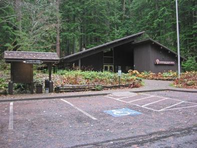
For visitors who would like to learn more about natural and cultural history, the Ohanapecosh Visitor Center is close by as well.
Facilities
This large campground has 188 individual sites for RV or tent camping situated among the ancient trees. There is drinking water, but no electric hookups. Visitors must use extra caution with food storage, as bear and other animals inhabit the area around the campground.
Natural Features
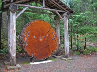
Ohanapecosh is thought to be a Taidnapam Indian word for "standing on the edge" of the Ohanapecosh River. The river itself is lined with mossy boulders and drains cold, clear water down from higher elevations. Its banks are lined with thick, old growth Douglas fir trees and other evergreens. There is no view of Mt. Rainier directly from the campground, though the mountain dominates the landscape in nearby areas of the park.