
Directions
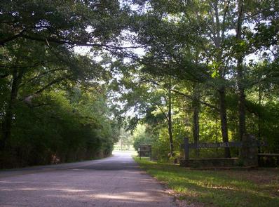
From Atlanta, GA, take SR 400 north to Exit 17, turn right on GA Hwy 306, turn right on GA Hwy 53, turn left on Old Sardis Rd, and turn left on Chestatee Rd. Follow into campground.
Phone
770-534-6960
Activities
BIKING, BOATING, CAMPING, FISHING, PICNICKING, DAY USE AREA, SWIMMING SITE, WATER ACTIVITIES, WATER ACCESS, ACCESSIBLE SWIMMING
Keywords
BOLD,LAKE LANIER,BOLLING MILL,BOWLING MILL,BOLEING MILL,LAKE SIDNEY LANIER
Related Link(s)
Overview
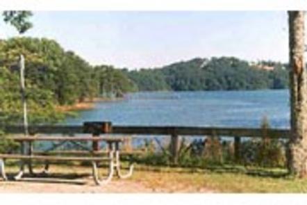
Bolding Mill Campground is an excellent choice for camping on Lake Sidney Lanier, offering plenty of comfortable amenities in addition to a well-kept facility.
Visitors will enjoy fishing and boating on the lake as well as the lush picnic area and large swimming beach, perfect for families.
Recreation
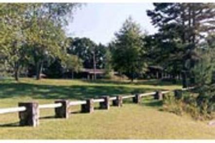
The large swimming beach is concrete, which provides a gentle slope and ADA access for visitors. An on-site boat ramp and fishing pier provide access to many water activities. Land-based recreation features picnic shelters and playground area near the front of the park.
Facilities
The campground offers 88 sites with electric and water hookups (no sewer). There’s also nine tent-only primitive sites. Campground conveniences include a laundry facility, fishing pier, and restroom/showerhouses. Facilities outside of the campground but within Bolding Mill park include the playground, swim beach and boat ramp. There’s also two dump stations, inside and outside the campground which rotate use per year.
Natural Features
Lake Lanier spans 38,000 surface water acres and 17,000 land acres across five counties in northern Georgia. The reservoir is known for its aqua-blue coloring and spectacular scenery in the forested foothills of the Blue Ridge Mountains. Bolding Mill campground is on the northwest side of the lake, which has plenty of grass and shade for comfortable camping.
Nearby Attractions
Head to the Don Carter State Park for birding and hiking opportunities. Another idea is the Sawnee Mountain Preserve, with breathtaking scenic overlooks, hiking opportunities and rock climbing. Nearby Gainesville, Dawsonville and Dalonega provide many different experiences and opportunities.
Charges & Cancellations
Cancellations must be made via the online/phone reservation system.