

Directions
From I-59 in Alabama, take Exit 73 (MacFarland Boulevard). Go west on MacFarland Blvd./Highway 82 for approximately 4.2 miles. Veer right onto Rice Mine Road. At the stoplight turn left onto Rice Mine Rd. Then, turn right at the stoplight onto New Watermelon Road and follow it for 3.4 miles. Turn right at the stop sign onto Lake Nicol Road, and follow Lake Nicol Rd. for 3.4 miles to Deerlick Road. Turn right onto Deerlick Rd. for approximately 3.2 miles to Deerlick Park.
Phone
205-759-1591
Activities
BIKING, BOATING, CAMPING, FISHING, HIKING, DAY USE AREA, SWIMMING
Keywords
DEEC,HOLT LAKE,DEERLICK,TALL PINES LOOP,LAUREL RIDGE LOOP,RIVER BLUFF LOOP,SETTLER’S CAMP LOOP,BLACK WARRIOR
Related Link(s)
Overview
Deerlick Creek Campground is located on Holt Lake on the Black Warrior-Tombigbee Waterway northeast of Tuscaloosa, Alabama.
The facility is in a beautiful forest along the shoreline, providing campers and day-use visitors with access to water sports, boating, fishing, swimming, hiking and biking.
Recreation
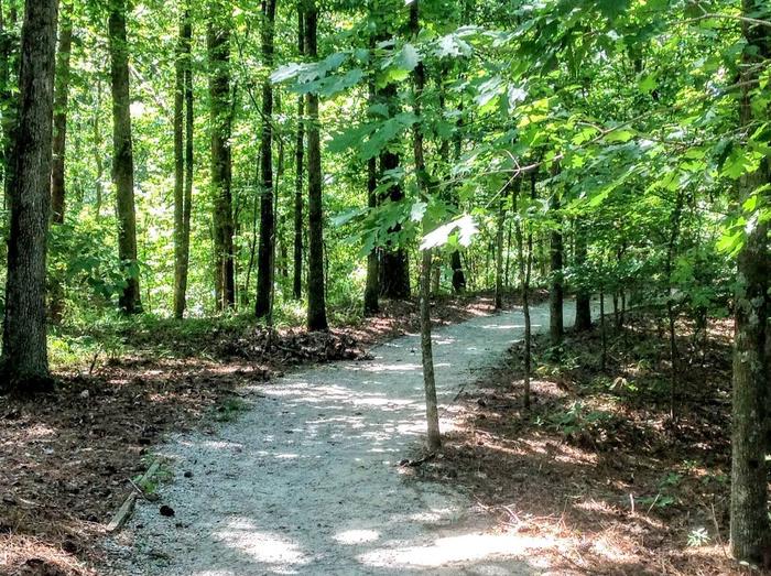
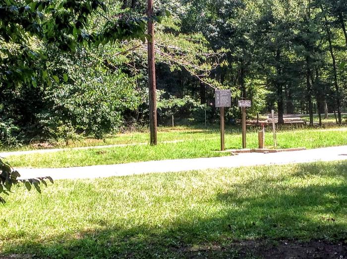
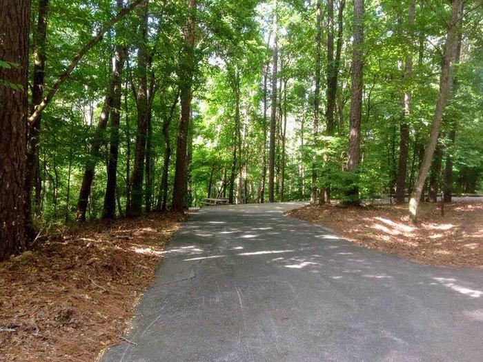
Campers can explore the lakeshore using the campground’s hiking trails and paved bicycle trail. The waterway is popular for fishing for bass, crappie, bream, catfish and more.
Facilities
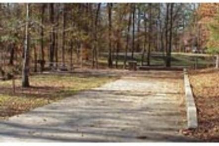
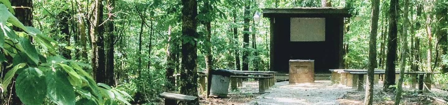
Deerlick Creek has 46 campsites with water and electric hookups, six of which are designated tent only. There is also one group picnic shelter that can be reserved for day use. Families with children have the convenience of showers, a multi-use court and swimming beach.
Natural Features
Holt Lake was created by the damming of the Black Warrior River. The campground is situated amidst a mixed pine and hardwood forest, which displays colorful foliage along the riverbanks each fall. Deer, squirrel, wild turkey, migratory birds and blue birds, all live in the Holt Lake area.
Black Warrior-Tombigbee Waterway consists of six lakes with a total length of 457 miles and 39,800 surface acres of water.
Temperatures range from the 80s to 90s from April through September, and annual rainfall averages about 60 inches.