LOCK A, TN Campground Reservation, Info, Images, Map, Directions

LOCK A, Tennessee Campground Images, Info & Reservations

Directions

From Ashland City, Tennessee, take US 12 and go eight miles west to Cheap Hill. Turn left on Cheatham Dam Road traveling west four miles. Turn left into the campground.

Phone

615-792-3715

Activities

CAMPING, HIKING, WATER SPORTS

Keywords

LOCA,CHEATHAM LAKE,CHEATHAM DAM,CHEATHAM L & D

Related Link(s)

Rec Area Info & Images

Tennessee State Road Conditions

Tennessee State Tourism

Overview

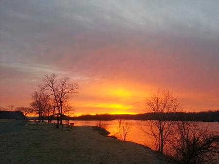
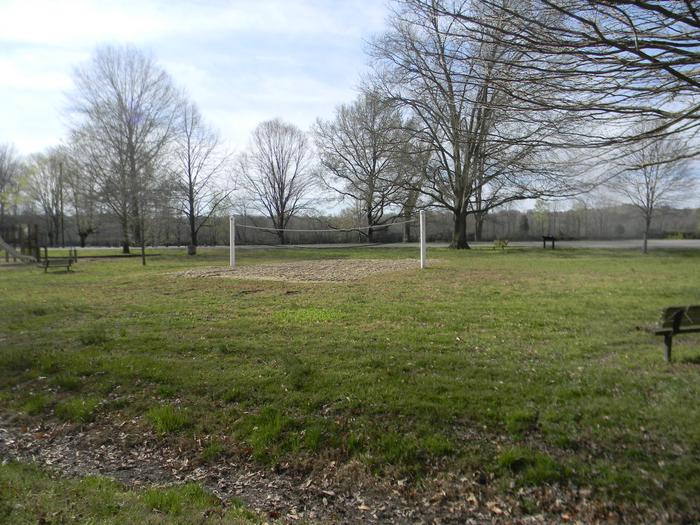
The relaxing yet activity-rich Lock A Campground has something to offer everyone from horseshoe pits to volleyball courts and hiking opportunities, plus a plethora of lake activities as well.

Recreation

The temperate climate here allows for a lengthy recreation season including boating, swimming, canoeing and fishing.

For hikers, the Cumberland River Bicentennial Trail is a rails-to-trails project, which runs 6.5 miles long and crosses Sycamore Creek on a historic abandoned railroad trestle.

Facilities

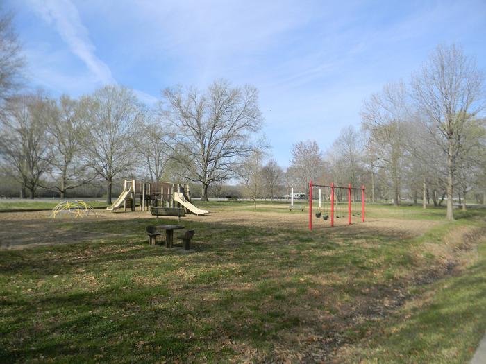
Both RV and tent sites have 50 amp electric hookups. Additional amenities include hot showers, a dump station, boat launch, playground, picnic shelter and swimming area.

A beach and additional playgrounds are available in the adjacent Cheatham Dam Right Bank Recreation Area.

Natural Features

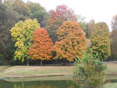
Lock A is on the north bank of the lake, just upstream from Cheatham Lock and Dam along the Cumberland River in north-central Tennessee.

Nearby Attractions

The Pardue Pond and Dyson Ditch Wildlife Refuges are on the other side of Cheatham lake. Both are excellent places for bird watching and exploring.

Reservation

More from CampingHiking.net:

CASCADE, Montana Campground Images, Info & Reservations

Directions From U.S. Highway 212, go to the south end of Red Lodge. Turn west onto West Fork Rock Creek Road (Forest Road 2071) and travel 11 miles west. The campground is on the left. Phone 406-587-9054 Activities BIKING, BOATING, FISHING, HIKING, WILDLIFE VIEWING, KAYAKING, CANOEING Keywords CASCADE,CASCADE CAMPGROUND,CASD,CUSTER NF

OLD HIGHWAY 86, Missouri Campground Images, Info & Reservations

Directions From Branson, Missouri, take Highway 65 and turn west onto Highway 86. After 6 miles turn north on Highway UU and follow signs to the campground. Phone 417-779-5376 Activities BIKING, BOATING, CAMPING, FISHING, HIKING, PICNICKING, VISITOR CENTER, WATER SPORTS, WILDLIFE VIEWING, DAY USE AREA, SWIMMING, KAYAKING Keywords OL86,TABLE ROCK

WINNIE DAM CAMPGROUND, Minnesota Campground Images, Info & Reservations

Directions From Deer River, Minnesota, take Highway 2 west for one mile. Turn right on Highway 46 and go 12 miles. Turn left on Itasca County 9 and continue 2 miles, then turn left at signs and follow to the campground. Phone 218-326-6128 Activities CAMPING Keywords LAKW,WINNI DAM CAMPGROUND,WINNI CAMPGROUND,MISSISSIPPI

KADING CABIN, Montana Campground Images, Info & Reservations

Directions Located 25 miles southwest of Helena, Montana in the Little Blackfoot drainage, the cabin can be reached via US Highway 12, turning left (south) onto Little Blackfoot River Road just east of Elliston. From this intersection, it is approximately 16 miles to the cabin. The cabin is located on

TRIMMER CAMPGROUND, California Campground Images, Info & Reservations

Directions From Fresno, California, travel east on Highway 180/Kings Canyon Highway to Academy Avenue. Turn left onto Academy Avenue, and then turn right on Belmont Avenue. Continue traveling for approximately 26 miles; the entrance to Trimmer Recreation Area is on the right. NOTE: Belmont Avenue becomes East Trimmer Springs Road