
Directions
From Heber Springs, AR, take SR-25 6.25 miles north to SR-25S. Travel SR-25S 3 miles west and follow signs to campground.
Phone
501-250-0483
Activities
CAMPING, SWIMMING SITE
Keywords
OH25,GREERS FERRY LAKE,OLD 25,TUMBLING SHOALS,HEBER SPRINGS,GREERS FERRY LAKE
Related Link(s)
Arkansas State Road Conditions
Overview
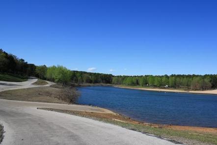
Old Highway 25 Campground is located on Greers Ferry Lake in the beautiful Ozark Mountains of north-central Arkansas. The environment provides the ideal location for family camping, fishing, boating and hiking.
Recreation
Greers Ferry Lake is an outdoor enthusiasts’ dream, with boating, sailing, water skiing, swimming, scuba diving and excellent fishing opportunities.
The William Carl Gardner Visitor Center is just west of the dam, with exhibits, a children’s touch table, and a replica of the world record 40 lb. 4 oz. brown trout caught in the Little Red River downstream of the center.
Hikers can enjoy two award-winning national nature trails located near the visitors center. Mossy Bluff extends along a tree-covered bluff overlooking the Little Red River, immediately below the dam. It ends almost one mile away at a rustic shelter, which offers a panoramic view of the river and dam.
Nearby is Buckeye Trail, a short barrier-free, paved pathway designed for the physically challenged. Guide maps for both trails are available at the center.
Facilities
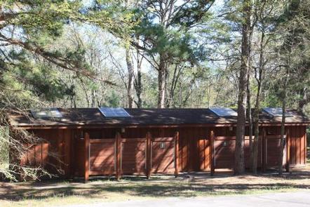
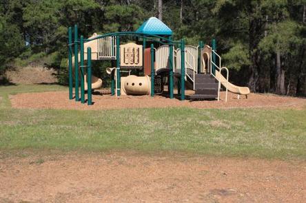
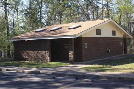
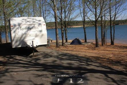
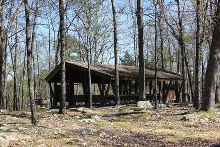
This campground offers 120 family sites, 84 of which have electrical hookups. One large non-electric group campsite is available as well. Additional amenities include flush and vault toilets, showers, a dump station, picnic shelter, swimming beach and a boat ramp.
Natural Features
A dense mix of red cedar, black gum, red oak, elm, pecan and sweet gum trees forest the area, providing shade in the summer months and beautiful fall colors in autumn.
Wildlife is plentiful around Greers Ferry Lake. Visitors commonly see white-tailed deer, wild turkeys, rabbits, squirrels and a wide variety of birds.
Nearby Attractions
The Greers Ferry National Fish Hatchery, in Heber Springs, located below the dam, offers free tours. Built in 1965, the hatchery produces about one million rainbow trout a year for restocking the Little Red and other Arkansas streams.