SERVICE, AL Campground Reservation, Info, Images, Map, Directions

SERVICE, Alabama Campground Images, Info & Reservations

Directions

From Coffeeville, Alabama, drive about four miles west on U.S. Highway 84 and follow the signs to campground entrance.

Park is located at mile marker 20 on Highway 84.

Phone

251-753-6935

Activities

CAMPING

Keywords

SERV,COFFEEVILLE LAKE,SERVICE,COFFEEVILLE,BLACK WARRIOR

Related Link(s)

Rec Area Info & Images

Alabama State Tourism

Alabama State Road Conditions

Overview

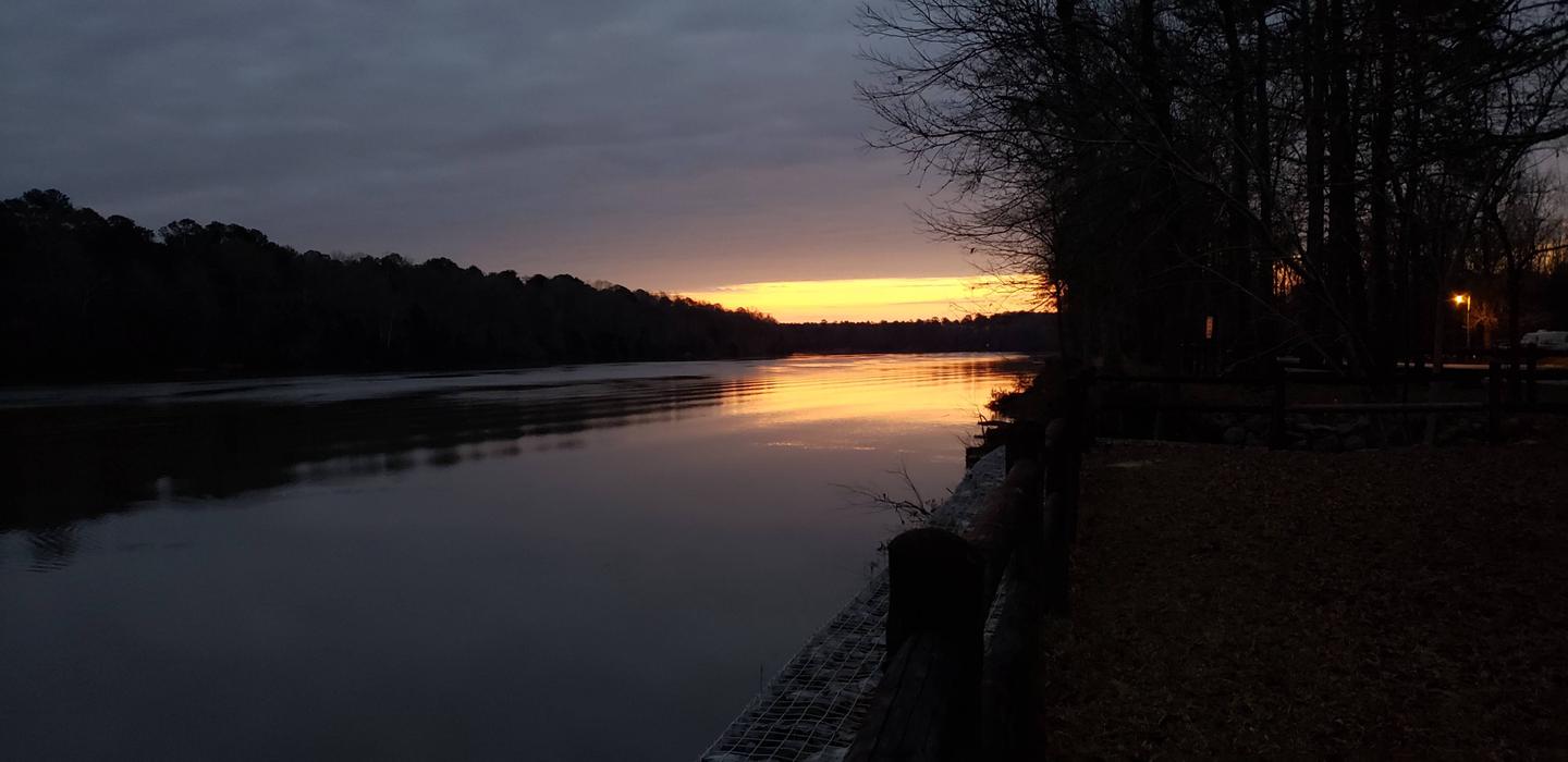
Service Campground is situated along the high banks of Coffeeville Lake, the third largest lake on the Black Warrior-Tombigbee Waterway in Alabama. With a surface area of 8,800 acres and a length of 97 miles, the area provides excellent opportunities for camping, fishing and boating.

Recreation

Fishing is the most popular activity on the waterway. Whether fishing on or off shore, anglers can fish for bass, crappie, bream, catfish and other species.

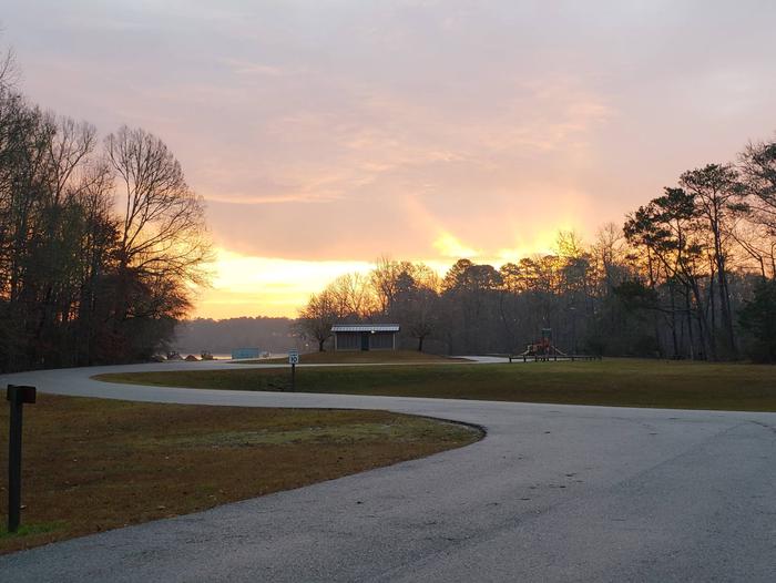
Visitors have the convenience of a boat ramp, and children can make use of the facility’s playground. Campers can also sit back and enjoy the peaceful, scenic shoreline.
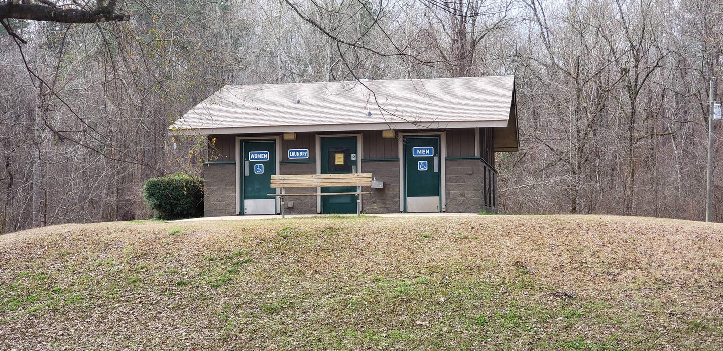
Facilities

Service Park offers 32 campsites, including two tent-only sites, all with 50-amp electric and water hookups, picnic table, lantern holder and campfire ring with grill.

Campsites are spacious, private and located near or close to the water. The facility also provides laundry facilities, hot showers and other comforts of home.

Natural Features

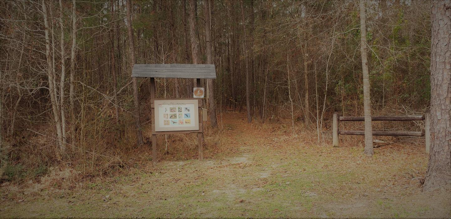
A mixed pine and hardwood forest lines the lakeshore. The campground is surrounded by dense conifer stands and rolling meadows that feature colorful wildflower displays. Wood ducks, bald eagles and many other species of wildlife inhabit the lake area.

Black Warrior-Tombigbee Waterway consists of six lakes with a total length of 457 miles and 39,800 surface acres of water.

Reservation

More from CampingHiking.net:

WEST BRIDGER CABIN, Montana Campground Images, Info & Reservations

Directions From Big Timber, Montana, travel 14 miles east on Interstate Highway 90 to exit 384 (Bridger Creek). From the stop sign, travel south for 8.2 miles to the junction of Main Bridger with West Bridger Creek Road. Turn right and continue on West Bridger Road for 2.2 miles to

MODOC, South Carolina Campground Images, Info & Reservations

Directions From I-20, take Exit 200 (River Watch Parkway). Turn right, drive 2 miles to Furys Ferry Road (HWY 28 West). Turn right, drive 13 miles to Clarks Hill, SC. Continue northwest on HWY 221 for approximately 4 miles to campground entrance. Phone 864-333-2272 Activities BOATING, CAMPING, FISHING, SWIMMING, KAYAKING

WEST CHICAGO CREEK, Colorado Campground Images, Info & Reservations

Directions I-70 westbound, Idaho Springs exit #240 – Hwy 103. Go south for 6.5 miles and turn right on southwest Forest Service Road 188 (West Chicago Creek Road). Go 3 miles to campground. The last mile of dirt/gravel road is one lane with pull over’s and contains two sharp switchbacks.

CABIN CREEK CABIN, Montana Campground Images, Info & Reservations

Directions Summer access from West Yellowstone: Take U.S. Highway 287 to Forest Service Road 681, Red Canyon Rd, then to the Red Canyon Trailhead. Foloow Trail #205 approximatley 5 miles to Cabin Creek Trail, then 1 mile via hike, horse, mountain bike, or motorcylce to the cabin. Note: ATVs must