
Directions
From I-5: Take exit 68 and head east on US Highway 12 to Randle, Washington. Turn south onto State Highway 131 and travel 1 mile, stay left at the Y and continue southeast on Forest Road 23 for 30 miles to Forest Road 2329. Turn left onto Forest Road 2329 and follow it through the junction with Forest Road 5601. Proceed on Forest Road 2329 for 3/4-mile to the campground.
The last 7 miles of Forest Road 23 are gravel surfaced.
Phone
541-338-7869
Activities
CAMPING, FISHING, HIKING, HUNTING
Keywords
TAKH,GIFFORD PINCHOT NF – FS
Related Link(s)
Washington State Road Conditions
Overview
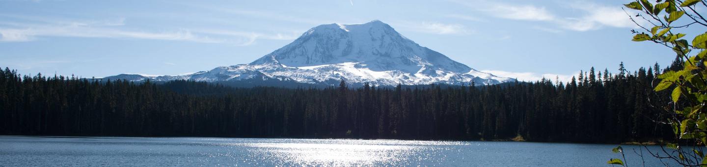
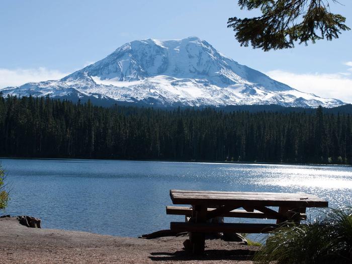
Takhlakh Lake Campground sits at an elevation of 4,400 feet in a well-shaded location next to its namesake lake. The campground sits at the base of Mt. Adams, providing visitors with incredible views in every direction. The campground has a short season, but it’s a particularly popular destination for hikers exploring the trails around Mt. Adams.
Recreation
The campsite offers access to the Takhlakh Loop, an accessible trail suitable for all ages and skill levels and the Takhlakh Meadow Trail.
The lake provides an ideal spot for anglers to cast for rainbow trout and for boaters looking to kayak or canoe. The lake is reserved for non-motorized use only.
Facilities
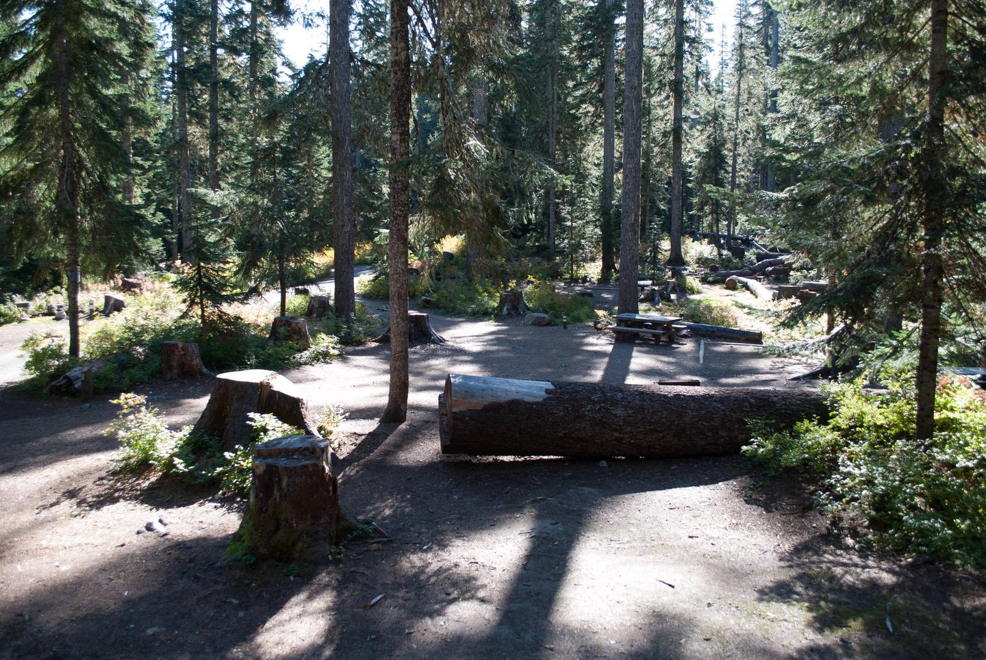
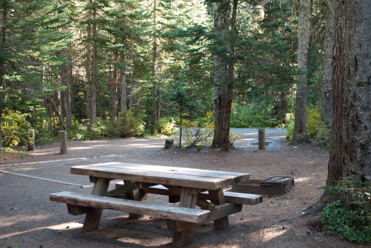
The campground consists of 54 back-in sites with unpaved parking spurs that vary in length from 15 to 40 feet. Some sites are tent only.
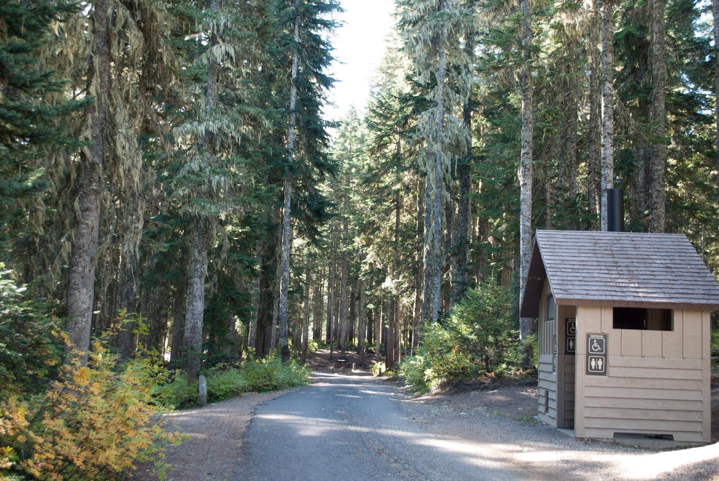
No drinking water is provided at this campground, but other amenities include vault toilets, picnic tables and campfire rings.
Takhlakh Lake Campground offers accessible sites and activities and amenities that support current accessibility standards.
Natural Features
Takhlakh Lake is part of the Cowlitz Valley Ranger District, which is located in the northernmost portion of the Gifford Pinchot National Forest.
This location offers breathtaking views of not only Mt. Adams, but also Mt. Rainier, and Mt. Saint Helens.
Nearby Attractions
Near the campground, hikers can access trailheads for the 2,663-mile Pacific Crest Trail. This leads to the Highline Trail, which attracts experienced hikers and backpackers for its views of Mt. Rainier, Mount St. Helens and Oregon’s Mt. Hood.